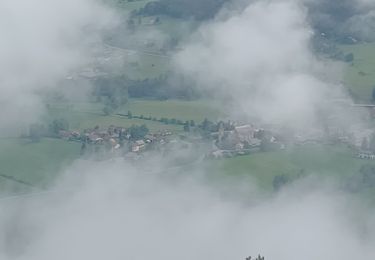
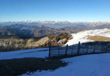
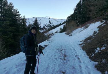
Trail Walking Auzet - AUZET  Le Fanget .Le Clot du Bouc o l s - Photo

AUZET Le Fanget .Le Clot du Bouc o l s

 RobinMicheline
RobinMicheline

User GUIDE

© OpenStreetMap contributors
Length
Length
15.7 km
Max alt
Max alt
1952 m
Uphill gradient
Uphill gradient
621 m
Km-Effort
Km-Effort  
24 km
Min alt
Min alt
1450 m
Downhill gradient
Downhill gradient
623 m
Boucle
Boucle
Yes
Creation date :
2019-08-15 03:52:16.561
Updated on :
2020-04-01 16:26:51.942

(1 Reviews)

Walking
Walking
6h27
Difficulty : Medium

Scan this QR Code to open this trail in the SityTrail application

FREE GPS app for hiking

Logo SityTrail SityTrail

IGN / Geographical institutes

Download SityTrail from the App Store Download SityTrail from Google Play

Logo SityTrail SityTrail World

The world is yours!

Download SityTrail from the App Store Download SityTrail from Google Play Download SityTrail on Huawei AppGallery

About

Trail Walking of 15.7 km to be discovered at Provence-Alpes-Côte d'Azur, Alpes-de-Haute-Provence, Auzet. This trail is proposed by RobinMicheline.

Description

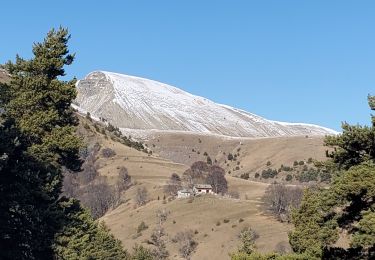
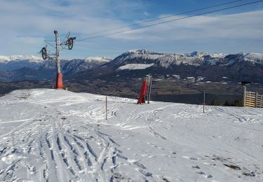
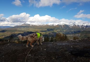
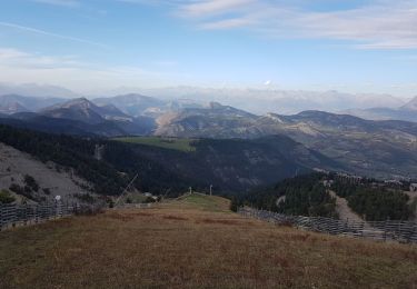
5 h marche  16 kms  700 me dénivelé vu chamois marmottes vue à 360 degré au sommet  magnifique

Elevation profile

Photos

Positioning

Country:
France
Region :
Provence-Alpes-Côte d'Azur
Department/Province :
Alpes-de-Haute-Provence
Municipality :
Auzet
Location:
Unknown
Start:(UTM)
286903 ; 4911772 (32T) N.

Comments

Please log in to post a review or rate the element


Trails nearby

Trail Walking Selonnet - Chabanon-Chauvet 06-08-2017 - Photo
Walking
GUIDE
fredetpascale

Walking

Very easy
(1)
Selonnet, Provence-Alpes-Côte d'Azur, Alpes-de-Haute-Provence, France
8.7 km | 12 km-effort
3h 50min
Yes
Trail Walking Auzet - Auzet marzenc 993m 17kms  - Photo
Walking
GUIDE
Danielba

Walking

Medium
Auzet, Provence-Alpes-Côte d'Azur, Alpes-de-Haute-Provence, France
16.4 km | 28 km-effort
7h 23min
No
Trail Snowshoes Selonnet - chabanon selonnet 442m 7.5kms - Photo
Snowshoes
GUIDE
Danielba

Snowshoes

Easy
Selonnet, Provence-Alpes-Côte d'Azur, Alpes-de-Haute-Provence, France
6.5 km | 11.9 km-effort
5h 2min
Yes
Trail Walking Auzet - Col du Fanget - Photo
Walking
GUIDE
David25400

Walking

Very easy
Auzet, Provence-Alpes-Côte d'Azur, Alpes-de-Haute-Provence, France
7.1 km | 9.9 km-effort
3h 35min
Yes
Trail Walking Auzet - AUZET. COL DE LA PINEE . LE MARZENC . N . O L - Photo
Walking
GUIDE
RobinMicheline

Walking

Difficult
Auzet, Provence-Alpes-Côte d'Azur, Alpes-de-Haute-Provence, France
11.7 km | 22 km-effort
3h 47min
Yes
Trail Walking Selonnet - Tête Grosse - Photo
Walking
GUIDE
David25400

Walking

Medium
Selonnet, Provence-Alpes-Côte d'Azur, Alpes-de-Haute-Provence, France
9.2 km | 16.2 km-effort
3h 24min
Yes
Trail Walking Seyne - SEYNES LES ALPES Bas et haut Chardavon  , balade de la Rochette , ravin des Ganiayes , les Côtes n - Photo
Walking
GUIDE
RobinMicheline

Walking

Medium
Seyne, Provence-Alpes-Côte d'Azur, Alpes-de-Haute-Provence, France
10.6 km | 17.8 km-effort
3h 10min
Yes
Trail Walking Selonnet - Tête Grosse 250122 - Photo
Walking
GUIDE
David25400

Walking

Very easy
Selonnet, Provence-Alpes-Côte d'Azur, Alpes-de-Haute-Provence, France
10.3 km | 17.6 km-effort
5h 26min
Yes
Trail Walking Selonnet -  Chabanon 230122  - Photo
Walking
GUIDE
David25400

Walking

Very easy
Selonnet, Provence-Alpes-Côte d'Azur, Alpes-de-Haute-Provence, France
7.8 km | 11.4 km-effort
3h 1min
No


Close
My subscriptions