


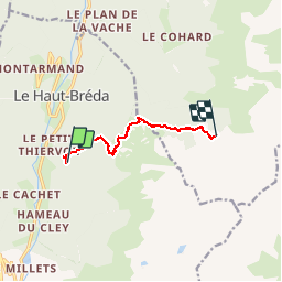

12.2 km | 28 km-effort


User


FREE GPS app for hiking
 SityTrail
IGN / Geographical institutes
SityTrail World
The world is yours!
Trail Walking of 7.1 km to be discovered at Auvergne-Rhône-Alpes, Isère, Le Haut-Bréda. This trail is proposed by GuyVachet.
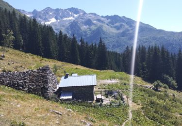
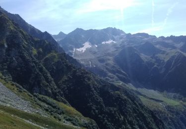
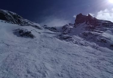
1er des 2 jours de la boucle pour découvrir les lacs de la Grande Valloire. La montée démarre en forêt à partir dans les premiers lacets de la route forestière au dessus du Grand Thiervoz. Quitter rapidement la piste pour le sentier en lacets (vieux panneau Tigneux) montée soutenue suivant la croupe. Au niveau du premier Chalet de Tigneux, obliquer Nord pour le lac du Léat via le Crêt du Tambour et enfin montée directe à la Croix du Léat. Montée à la Pierre du Pin (1904m) pour redescendre à l'alpage et montée finale au refuge de l'Oule afin d'accéder le jour suivant, aux très beaux panoramas des cols et lacs de la Grande Valloire.

Walking
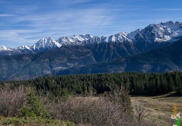
Walking
Walking
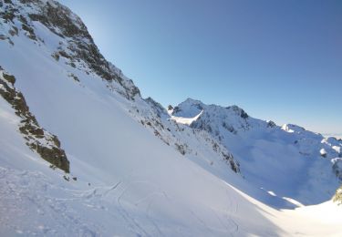
Touring skiing
Walking
Walking
Touring skiing

Walking
Walking