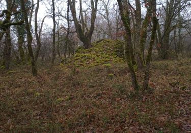
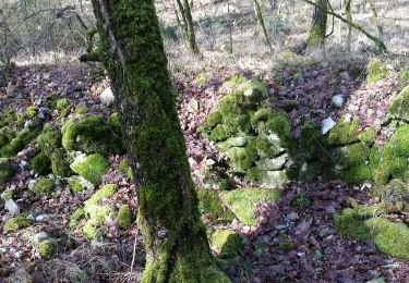
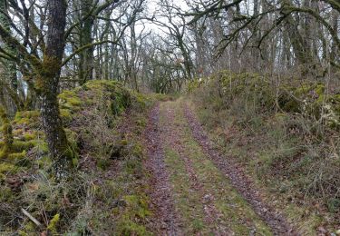
13.9 km | 17.1 km-effort
Aurelie 13 août
salcet
User
Length
18.7 km
Max alt
146 m
Uphill gradient
254 m
Km-Effort
22 km
Min alt
85 m
Downhill gradient
246 m
Boucle
No
Creation date :
2019-08-13 08:46:56.0
Updated on :
2019-08-13 09:55:32.086
1h07
Difficulty : Easy
FREE GPS app for hiking
About
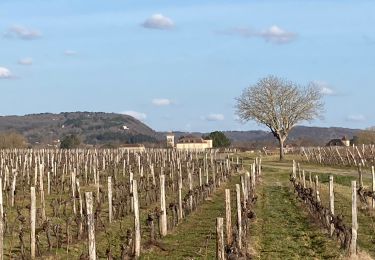
Trail Road bike of 18.7 km to be discovered at Occitania, Lot, Anglars-Juillac. This trail is proposed by salcet.
Positioning
Country:
France
Region :
Occitania
Department/Province :
Lot
Municipality :
Anglars-Juillac
Location:
Unknown
Start:(Dec)
Start:(UTM)
356780 ; 4926716 (31T) N.
Comments
Trails nearby
Fages_Pech-vert_Foulquet 6,5
Walking
Very easy
Luzech,
Occitania,
Lot,
France
6.5 km | 8.9 km-effort
2h 7min
Yes
Castelfranc Tindout 2019 02 08
Walking
Easy
Castelfranc,
Occitania,
Lot,
France
3.3 km | 4.6 km-effort
1h 42min
Yes
Castelfranc Tindout photos
Walking
Easy
Castelfranc,
Occitania,
Lot,
France
5 km | 6.9 km-effort
2h 1min
Yes
R_paul alblas lot
Bicycle tourism
Medium
Albas,
Occitania,
Lot,
France
45 km | 56 km-effort
3h 40min
Yes
Belaye - Grezels (al Tuc)
Walking
Easy
(1)
Bélaye,
Occitania,
Lot,
France
11.3 km | 14.9 km-effort
2h 32min
Yes
Henri Martin
Walking
Easy
Labastide-du-Vert,
Occitania,
Lot,
France
3.7 km | 5.4 km-effort
1h 13min
Yes