


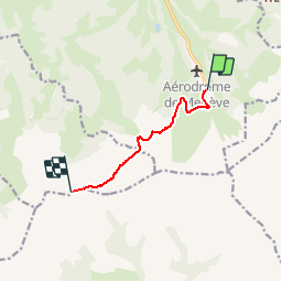

10.2 km | 17.6 km-effort


partout a pied et en moto


FREE GPS app for hiking
 SityTrail
IGN / Geographical institutes
SityTrail World
The world is yours!
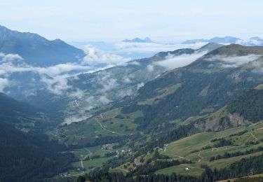
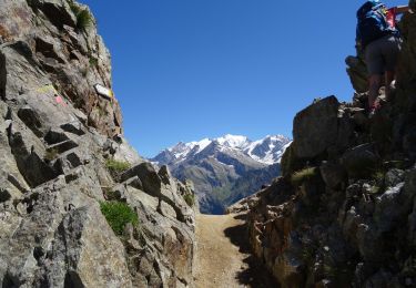
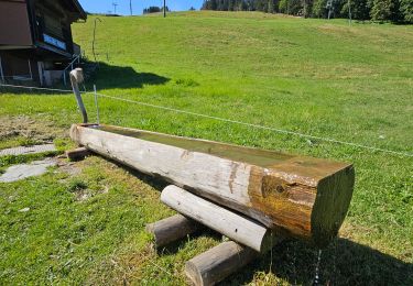
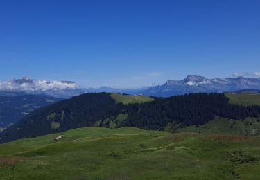
Trail Walking of 6 km to be discovered at Auvergne-Rhône-Alpes, Upper Savoy, Megève. This trail is proposed by les randos d'Olivier.

Walking

Mountain bike
Walking

Walking

Touring skiing
Walking
Walking
Walking
Walking