


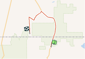

10.1 km | 11.6 km-effort


User


FREE GPS app for hiking
 SityTrail
IGN / Geographical institutes
SityTrail World
The world is yours!
Trail Walking of 10.1 km to be discovered at Utah, San Juan County. This trail is proposed by rafa77.
rejoindre trailhezd Marlboro Point


Motor
4x4
Motor