


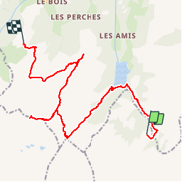

13.6 km | 26 km-effort


User


FREE GPS app for hiking
 SityTrail
IGN / Geographical institutes
SityTrail World
The world is yours!
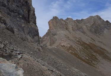
Trail Walking of 19.7 km to be discovered at Auvergne-Rhône-Alpes, Savoy, Aime-la-Plagne. This trail is proposed by TonioNantes.
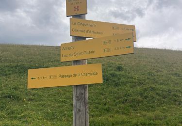
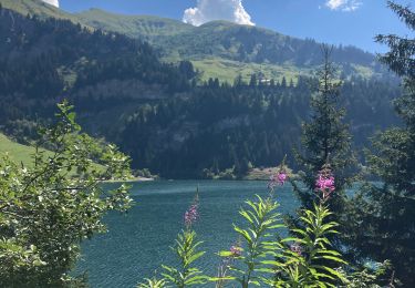
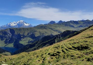
Refuge de L'Econdu au Refuge des Arolles en passant par Le Grand Mont

Walking

Walking

Walking

Walking

Walking
Walking
Walking
Walking
Walking