


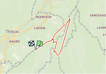

6.6 km | 10.5 km-effort


User


FREE GPS app for hiking
 SityTrail
IGN / Geographical institutes
SityTrail World
The world is yours!
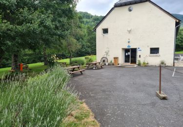
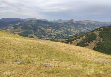
Trail Walking of 13.2 km to be discovered at Auvergne-Rhône-Alpes, Cantal, Saint-Clément. This trail is proposed by josy31.
Très belle randonnée à éviter toutefois en cas de grosse chaleur car aucune ombre sur le trajet

Walking

Walking
Walking

Walking
Walking
Walking
Walking
Walking

Walking