


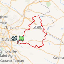

57 km | 69 km-effort


User


FREE GPS app for hiking
 SityTrail
IGN / Geographical institutes
SityTrail World
The world is yours!
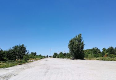
Trail Hybrid bike of 59 km to be discovered at Occitania, Haute-Garonne, Quint-Fonsegrives. This trail is proposed by mipi31.
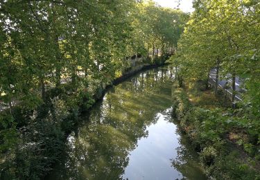
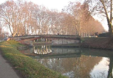
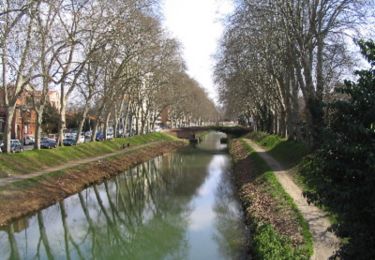
Après un gros orage, j'ai préféré rester sur le macadam pour cette randonnée. Pas de difficulté particulière en dehors de la distance et du dénivelé conséquent. Très peu de roulage sauf pour les dernier kilomètres à partir de Saint Pierre de Lages.
Bonne route.
Hybrid bike
Walking

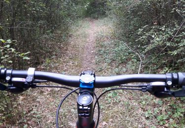
Hybrid bike
Walking
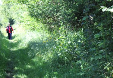
Walking
Walking
Walking

Running
Mountain bike