


8 km | 9.5 km-effort

User


FREE GPS app for hiking
 SityTrail
IGN / Geographical institutes
SityTrail World
The world is yours!
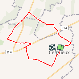
Trail Walking of 8.2 km to be discovered at Normandy, Calvados, Livarot-Pays-d'Auge. This trail is proposed by Eve - Line.
Départ église de Cerqueux. Prendre en photo le circuit et suivre le balisage de randonnée bleu. La photo du circuit servira de plan car le balisage est manquant à certains endroits. Bonne rando


Walking

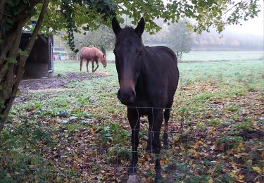
Walking

Motor

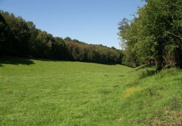
Walking
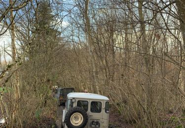
4x4
Walking
Walking

Walking