


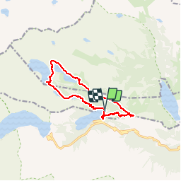

11.6 km | 28 km-effort


User


FREE GPS app for hiking
 SityTrail
IGN / Geographical institutes
SityTrail World
The world is yours!
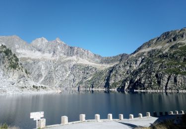
Trail Walking of 12.9 km to be discovered at Occitania, Hautespyrenees, Saint-Lary-Soulan. This trail is proposed by BernardEsteban.
beaucoup de monde. parking payant 8e
essayer en partant du lac aubert où le parking est gratuit

Walking

Walking

Walking

Walking
Walking
Snowshoes
Walking
Walking

sport