


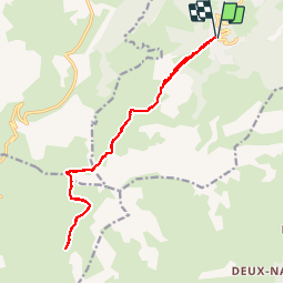

18.1 km | 34 km-effort

User


FREE GPS app for hiking
 SityTrail
IGN / Geographical institutes
SityTrail World
The world is yours!
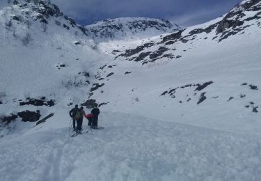
Trail Walking of 16.9 km to be discovered at Auvergne-Rhône-Alpes, Savoy, Les Avanchers-Valmorel. This trail is proposed by zazie.
Montée par l'altispace de Valmorel aux voiles de Nant. Passage sous le cheval noir, lacs blanc et bleu. Retour par le même chemin.


Walking
Touring skiing

Touring skiing

Touring skiing

Touring skiing

Touring skiing

Touring skiing
Touring skiing

Touring skiing