


9.2 km | 22 km-effort


User


FREE GPS app for hiking
 SityTrail
IGN / Geographical institutes
SityTrail World
The world is yours!
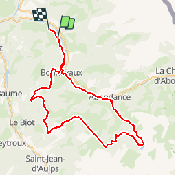
Trail Mountain bike of 37 km to be discovered at Auvergne-Rhône-Alpes, Upper Savoy, Vacheresse. This trail is proposed by desu.
Moi en elec Pierre en muscu il faut bien rester en eco1500m !!!

Walking
Walking

Walking

Walking

Walking
On foot

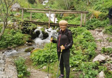
Nordic walking
Walking
Walking