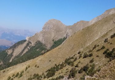
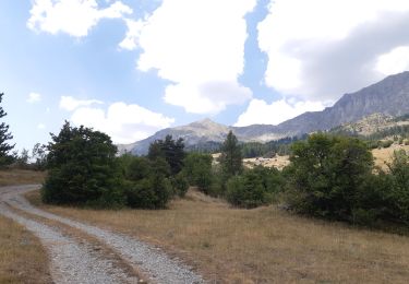
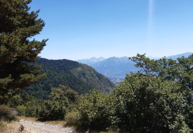
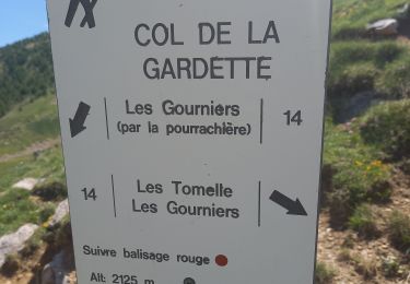
5.9 km | 8.2 km-effort
ballade de montgardin
boucton
User
Length
21 km
Max alt
977 m
Uphill gradient
409 m
Km-Effort
26 km
Min alt
773 m
Downhill gradient
408 m
Boucle
Yes
Creation date :
2019-07-31 08:41:19.801
Updated on :
2019-08-02 11:45:55.512
1h49
Difficulty : Medium
FREE GPS app for hiking
About
Trail Mountain bike of 21 km to be discovered at Provence-Alpes-Côte d'Azur, Hautes-Alpes, Montgardin. This trail is proposed by boucton.
Description
super facile
Positioning
Country:
France
Region :
Provence-Alpes-Côte d'Azur
Department/Province :
Hautes-Alpes
Municipality :
Montgardin
Location:
Unknown
Start:(Dec)
Start:(UTM)
281612 ; 4937328 (32T) N.
Comments
Trails nearby
Chanteloube et lac de Serre Ponçon
Walking
Very easy
(2)
Chorges,
Provence-Alpes-Côte d'Azur,
Hautes-Alpes,
France
1h 47min
Yes
Piolit
Walking
Difficult
Ancelle,
Provence-Alpes-Côte d'Azur,
Hautes-Alpes,
France
8.9 km | 19.4 km-effort
4h 24min
Yes
Les Parias et la Pousterle par le col de Chorges
Walking
Medium
Chorges,
Provence-Alpes-Côte d'Azur,
Hautes-Alpes,
France
15.4 km | 32 km-effort
6h 18min
Yes
Montagne du Ruban
Walking
Easy
(2)
Chorges,
Provence-Alpes-Côte d'Azur,
Hautes-Alpes,
France
11 km | 17.4 km-effort
3h 39min
No
au dessus de Chorges : Naume Raze . les Drayes . parking des Gardes . Forest ...
Walking
Medium
Chorges,
Provence-Alpes-Côte d'Azur,
Hautes-Alpes,
France
9.3 km | 14.9 km-effort
4h 13min
Yes
crêtes d´Auréous : col de la Moissière . Chatégré . St Philippe . lac de Faudon
Walking
Easy
Ancelle,
Provence-Alpes-Côte d'Azur,
Hautes-Alpes,
France
6.9 km | 9.8 km-effort
2h 39min
Yes
Col de la Gardette - l'Esillon 12.6.22
Walking
Easy
Chorges,
Provence-Alpes-Côte d'Azur,
Hautes-Alpes,
France
8.4 km | 16.7 km-effort
3h 40min
Yes
Saint-Philippe 091021
Walking
Very easy
Ancelle,
Provence-Alpes-Côte d'Azur,
Hautes-Alpes,
France
6.9 km | 9.9 km-effort
2h 43min
Yes
Bois du Ruban (Clot Clavary - crête du Ruban)
Walking
Easy
Chorges,
Provence-Alpes-Côte d'Azur,
Hautes-Alpes,
France
12.1 km | 19.3 km-effort
3h 52min
Yes