


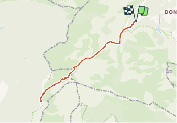

14.3 km | 31 km-effort


User


FREE GPS app for hiking
 SityTrail
IGN / Geographical institutes
SityTrail World
The world is yours!
Trail Walking of 17.9 km to be discovered at Auvergne-Rhône-Alpes, Isère, Chichilianne. This trail is proposed by Emelle.
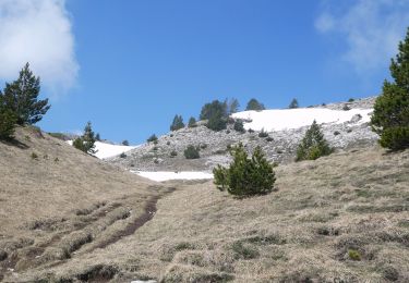
Hormis le nombre de km et la vire des Heures aérienne qui peut-être facultative, pas de difficulté majeure.
Accès à la vire des Heures hors sentier.

Walking

Walking
Walking

Walking

Walking

Walking

Walking

Snowshoes

Walking