


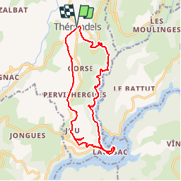

12.7 km | 14.8 km-effort

User


FREE GPS app for hiking
 SityTrail
IGN / Geographical institutes
SityTrail World
The world is yours!
Trail Walking of 17.1 km to be discovered at Occitania, Aveyron, Thérondels. This trail is proposed by tracegps.
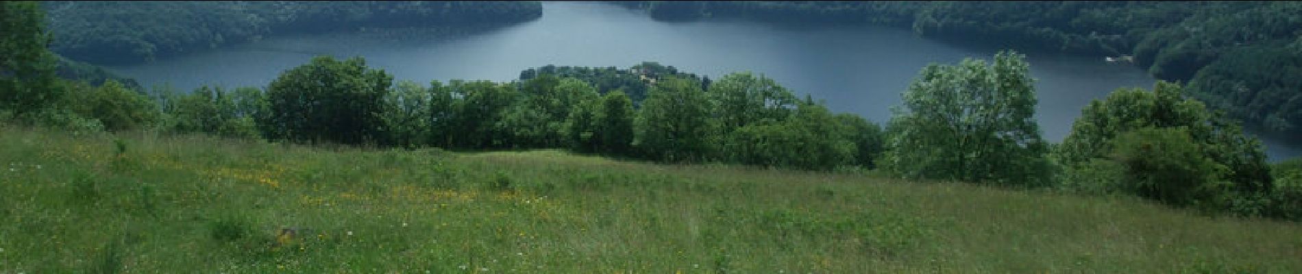
Balade aveyronnaise depuis le village de Thérondels à la limite du Cantal. Un itinéraire varié au soleil et ombragé. Pique-nique à la presqu'ile de Laussac au bord de la retenue du barrage de Sarrans.


Walking
Walking

Walking

Other activity
Walking
Walking
Walking
Walking
Walking
Jolie rando. Mise en jambes au départ, longue montée progressive à la fin. Pique nique ou restauration sur place à la presqu’île et baignade possible.