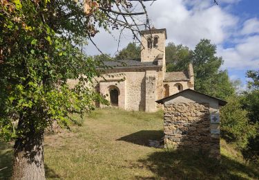
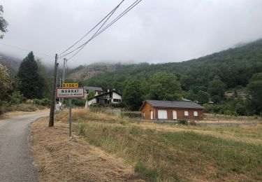
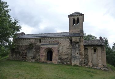
Trail Mountain bike Arnave - Mont Fourcat - Arnave - Photo

Mont Fourcat - Arnave

 tracegps
tracegps

User

© OpenStreetMap contributors
Length
Length
31 km
Max alt
Max alt
1999 m
Uphill gradient
Uphill gradient
1518 m
Km-Effort
Km-Effort  
52 km
Min alt
Min alt
564 m
Downhill gradient
Downhill gradient
1515 m
Boucle
Boucle
Yes
Creation date :
2014-12-10 00:00:00.0
Updated on :
2014-12-10 00:00:00.0

(0 Reviews)

Mountain bike
Mountain bike
5h00
Difficulty : Difficult

Scan this QR Code to open this trail in the SityTrail application

FREE GPS app for hiking

Logo SityTrail SityTrail

IGN / Geographical institutes

Download SityTrail from the App Store Download SityTrail from Google Play

Logo SityTrail SityTrail World

The world is yours!

Download SityTrail from the App Store Download SityTrail from Google Play Download SityTrail on Huawei AppGallery

About

Trail Mountain bike of 31 km to be discovered at Occitania, Ariège, Arnave. This trail is proposed by tracegps.

Description

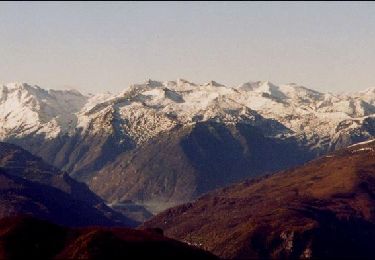
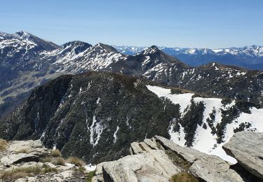
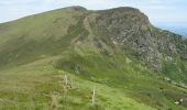
Encore une très belle boucle proposée par Jean-Michel C. Montées en route puis piste pas très roulante dans les 10 lacets, meilleure ensuite, avant 400 m de poussage dans les sentes puis les bruyères et les rhodos... La fin après le col d'Aigue Torte se mérite aussi. Mais la vue, quelle vue !! et la descente, 1400 m presque tout en single (sauf la piste au N/O de la Lauzate, très roulante)!! A refaire depuis le Traucadou, (300 m roulé et 500 m poussé? pour ces 1400 m ou plus, de descente ; avec navette ou chauffeur)

Elevation profile

Photos

Positioning

Country:
France
Region :
Occitania
Department/Province :
Ariège
Municipality :
Arnave
Location:
Unknown
Start:(UTM)
389519 ; 4745450 (31T) N.

Trails nearby

Trail Walking Saint-Paul-de-Jarrat - Le Mont Fourcat - Croquié - Photo
Walking
tracegps

Walking

Difficult
(2)
Saint-Paul-de-Jarrat, Occitania, Ariège, France
10.5 km | 20 km-effort
4h 15min
Yes
Trail Walking Mercus-Garrabet - Mont Fourcat depuis Croquié - Photo
Walking
chrisgps

Walking

Very difficult
(1)
Mercus-Garrabet, Occitania, Ariège, France
13 km | 27 km-effort
6h 10min
Yes
Trail Running Mercus-Garrabet - mercus1 - Photo
Running
gilbertcaujolle

Running

Very easy
(1)
Mercus-Garrabet, Occitania, Ariège, France
20 km | 37 km-effort
5h 6min
Yes
Trail Walking Cazenave-Serres-et-Allens - cabane du ¨Pla de Tabe version longue - Photo
Walking
chrisgps

Walking

Medium
Cazenave-Serres-et-Allens, Occitania, Ariège, France
9.4 km | 19.2 km-effort
4h 22min
Yes
Trail Walking Mercus-Garrabet - Mont Fourcat en A/R - Photo
Walking
chrisgps

Walking

Easy
Mercus-Garrabet, Occitania, Ariège, France
10 km | 21 km-effort
4h 42min
Yes
Trail Walking Tarascon-sur-Ariège - De Tarascon sur Ariège aux Cabannes  - Photo
Walking
c.chehere

Walking

Medium
Tarascon-sur-Ariège, Occitania, Ariège, France
13.8 km | 17.1 km-effort
5h 4min
No
Trail Walking Tarascon-sur-Ariège - Tour de la pique de Tarrascon - Photo
Walking
c.chehere

Walking

Medium
Tarascon-sur-Ariège, Occitania, Ariège, France
11.9 km | 19.3 km-effort
5h 46min
Yes
Trail Electric bike Niaux - Niaux  - Photo
Electric bike
jpborto

Electric bike

Very easy
Niaux, Occitania, Ariège, France
13.8 km | 21 km-effort
51min
Yes
Trail On foot Arnave - Le Tour de la Pique - Photo
On foot
GUIDE+

On foot

Easy
Arnave, Occitania, Ariège, France
9.9 km | 17.3 km-effort
3h 55min
Yes


Close
My subscriptions