


9.3 km | 11.4 km-effort


User


FREE GPS app for hiking
 SityTrail
IGN / Geographical institutes
SityTrail World
The world is yours!
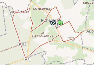
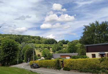
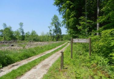
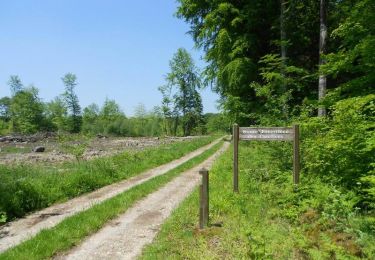
Trail Equestrian of 12.2 km to be discovered at Normandy, Seine-Maritime, Richemont. This trail is proposed by tracegps.
Circuit proposé par l'Office de Tourisme d'Aumale. De l'église prendre la rue principale et tourner à droite dans le rue Marin Vattier. Traverser le Fond de la Berquerie, une fois arrivé à la route, tourner à gauche et continuer tout droit jusqu'à la forêt. Prendre la D7 à droite en longeant le clos de la Ventilette. En tournant ensuite sur votre gauche, vous rattrapez la route forestière des Cateliers que vous prenez sur presque 2 kilomètres. A son extrémité, tourner à gauche sur la D60, puis traverser la plaine d'Aubéguimont, descendre vers le Fond du Cailloutin pour rejoindre une route goudronnée qui ramène au point de départ.
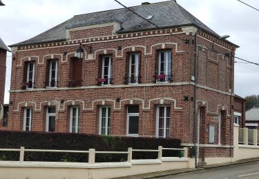
 - Richemont - Photo 1")
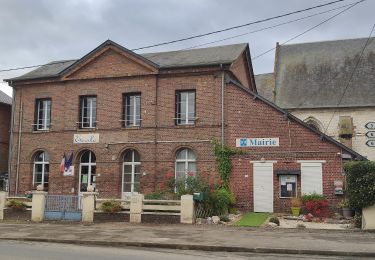
 - Richemont - Photo 2")
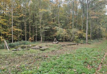
 - Richemont - Photo 3")
 - Richemont - Photo 4")
 - Richemont - Photo 5")
On foot

On foot
On foot
On foot
On foot
On foot

On foot
Mountain bike
Walking