


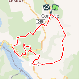

14.2 km | 19.8 km-effort


User


FREE GPS app for hiking
 SityTrail
IGN / Geographical institutes
SityTrail World
The world is yours!
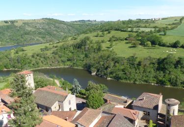
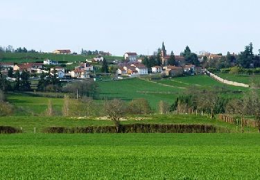
Trail Walking of 9.4 km to be discovered at Auvergne-Rhône-Alpes, Loire, Cordelle. This trail is proposed by tracegps.
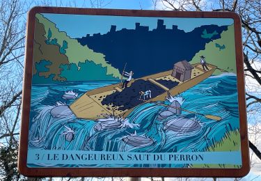
Départ du parking de l’église à Cordelle. Le circuit agréé PR N° 7, destiné aux marcheurs, fait partie du Topoguide Grande Randonnée de Pays (GRP) « Autour des Gorges de la Loire, du Forez au Roannais » et il est suivi intégralement selon le descriptif détaillé du topoguide. Il est extrait du Guide des Randonnées du Pays entre Loire Et Rhône (CoPLER), donc il faut suivre le balisage Blanc et Jaune CoPLER N°5. Topoguides : Autour des Gorges de la Loire, du Forez au Roannais, Edition FFRandonnée (7 itinéraires GR de Pays et 10 circuits PR agréé). Guide des Randonnées du Pays entre Loire Et Rhône (CoPLER), 32 circuits balisés.


Walking
Walking
Walking
Walking
On foot
Walking
Mountain bike
Mountain bike
Mountain bike