


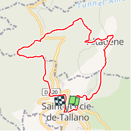

23 km | 35 km-effort

User


FREE GPS app for hiking
 SityTrail
IGN / Geographical institutes
SityTrail World
The world is yours!
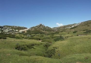
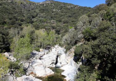
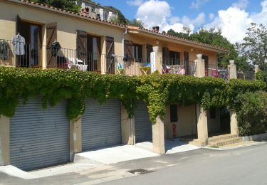
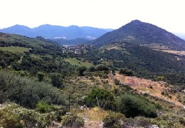
Trail Walking of 5.2 km to be discovered at Corsica, South Corsica, Sainte-Lucie-de-Tallano. This trail is proposed by tracegps.
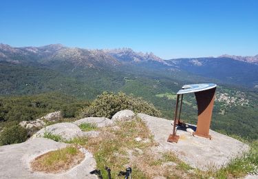
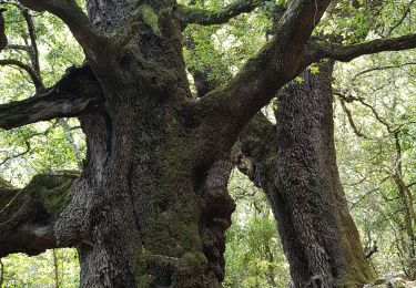
Circuit qui pourrait être très facile si il n'y avait pas des passages infranchissables en début de saison sans coupe-coupe. Presque toujours à l'ombre, sous les châtaigniers, avec plusieurs sources.


Walking
Walking
Walking
Walking

Walking
Walking
Walking
Walking
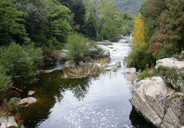
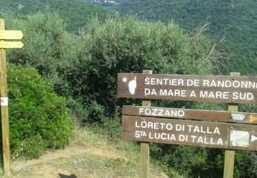
Super randonné . Très bien balisee , à faire et à refaire même avec des enfants de plus de dix ans.