


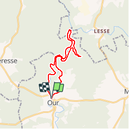


11.5 km | 14.5 km-effort


User


FREE GPS app for hiking
 SityTrail
IGN / Geographical institutes
SityTrail World
The world is yours!
Trail Walking of 11.2 km to be discovered at Wallonia, Luxembourg, Paliseul. This trail is proposed by GerardBouche.
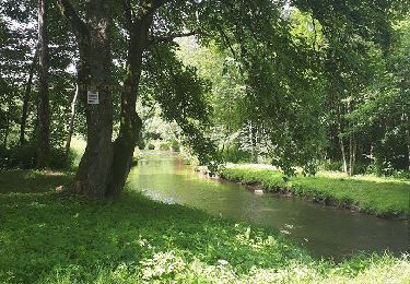
Au départ des " Terrasses de l'Our ", un agréable parcours forestier dans la vallée de l'Our par son ancien Moulin et retour en rive droite par la " Cinse Jean Gérau".


Walking

Walking

Walking

Walking

Walking

Walking

Walking

Walking
Walking