


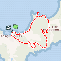

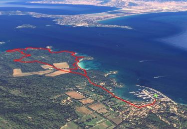
11.9 km | 14.2 km-effort


User


FREE GPS app for hiking
 SityTrail
IGN / Geographical institutes
SityTrail World
The world is yours!
Trail Walking of 10.4 km to be discovered at Provence-Alpes-Côte d'Azur, Var, Hyères. This trail is proposed by tracegps.
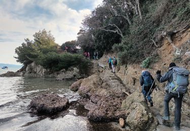
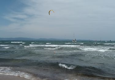
Balade sur une des îles de la grande bleue qui est Porquerolles entre vignes et le long de la mer. Beau panorama de plusieurs plages (plage de la Courtade, plage de Notre-Dame). Vue surprenante sur les plages où l'eau est d'un bleu turquoise, à la hauteur du sémaphore.


Walking

Walking

Mountain bike

Walking

Walking
On foot
Walking
Walking
Walking