


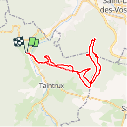


14.7 km | 22 km-effort

User

FREE GPS app for hiking
 SityTrail
IGN / Geographical institutes
SityTrail World
The world is yours!
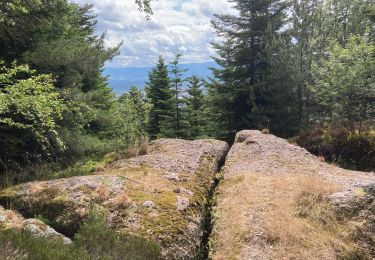
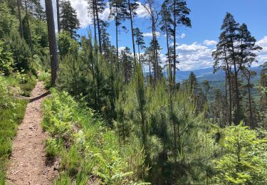
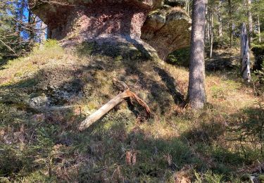
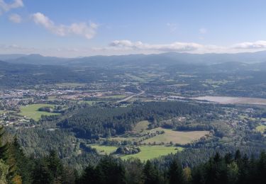
Trail Walking of 17.8 km to be discovered at Grand Est, Vosges, Taintrux. This trail is proposed by 1957.
Rougiville - Climont - Pierre de Laitre - Anozel -Kiosque - Enclume -Anozel -Retour


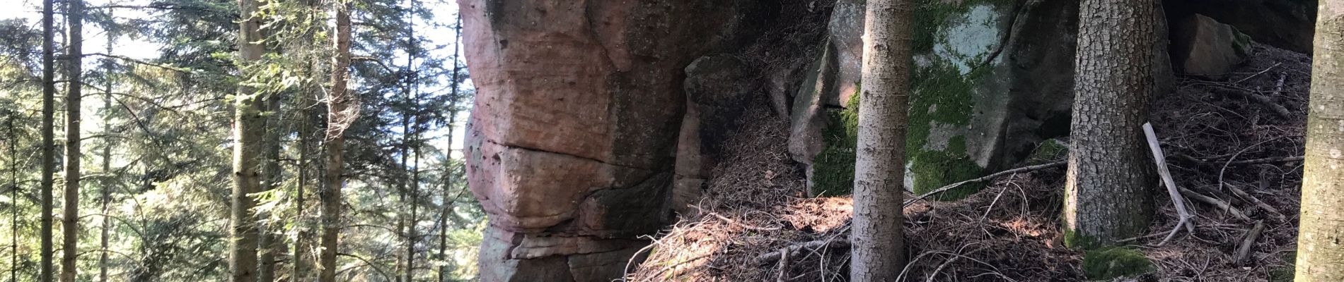
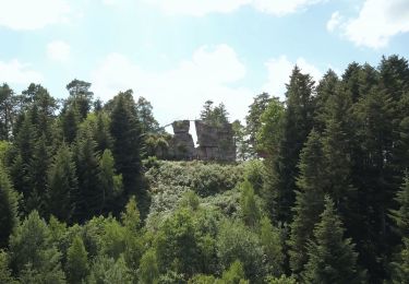
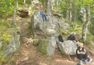
26 photos in total. Please click on a photo to see them all in the gallery.

Walking
On foot

Walking
Walking
Walking
Walking
Walking
Walking
Walking