


6.1 km | 7.5 km-effort

User


FREE GPS app for hiking
 SityTrail
IGN / Geographical institutes
SityTrail World
The world is yours!
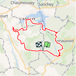
Trail Walking of 15.3 km to be discovered at Grand Est, Vosges, Renauvoid. This trail is proposed by tracegps.
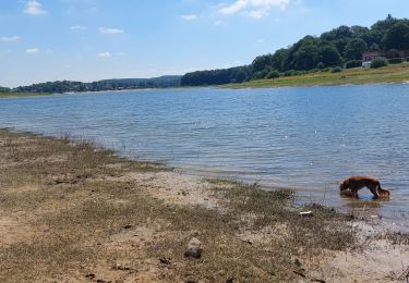
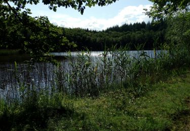
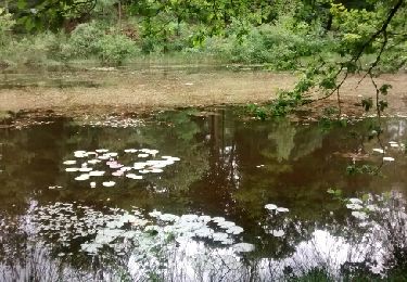
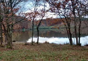
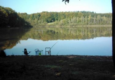
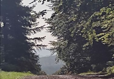
Très belle randonnée au cœur des Vosges, une boucle de 15 km autour du Bois de Girancourt longeant le lac de Bouzey et l’étang de l’Abbaye.


Walking
Walking
Walking

Walking
Walking

Walking
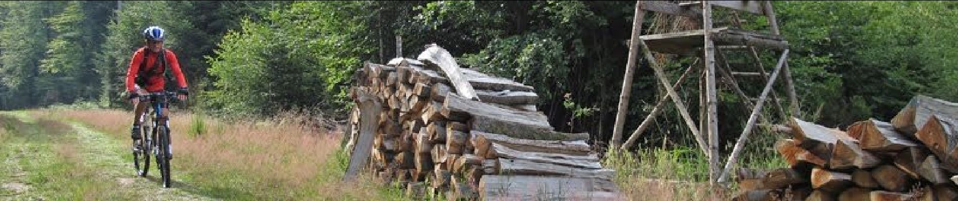
Mountain bike
Mountain bike
Mountain bike