Trail Mountain bike Yvetot-Bocage - Rando de Yvetot-Bocage 2013 - Photo

Rando de Yvetot-Bocage 2013

 tracegps
tracegps

User

© OpenStreetMap contributors
Length
Length
42 km
Max alt
Max alt
78 m
Uphill gradient
Uphill gradient
394 m
Km-Effort
Km-Effort  
47 km
Min alt
Min alt
15 m
Downhill gradient
Downhill gradient
391 m
Boucle
Boucle
Yes
Creation date :
2014-12-10 00:00:00.0
Updated on :
2014-12-10 00:00:00.0

(0 Reviews)

Mountain bike
Mountain bike
2h45
Difficulty : Medium

Scan this QR Code to open this trail in the SityTrail application

FREE GPS app for hiking

Logo SityTrail SityTrail

IGN / Geographical institutes

Download SityTrail from the App Store Download SityTrail from Google Play

Logo SityTrail SityTrail World

The world is yours!

Download SityTrail from the App Store Download SityTrail from Google Play Download SityTrail on Huawei AppGallery

About

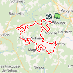
Trail Mountain bike of 42 km to be discovered at Normandy, Manche, Yvetot-Bocage. This trail is proposed by tracegps.

Description

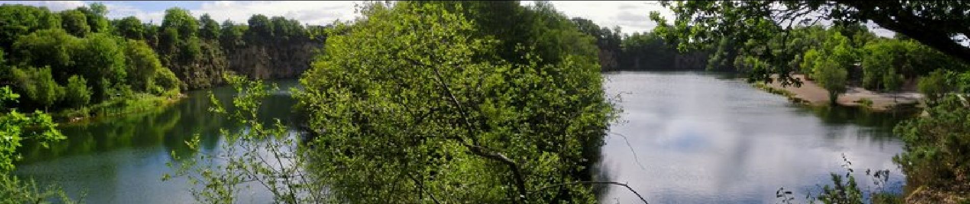
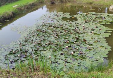
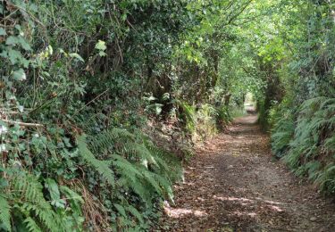
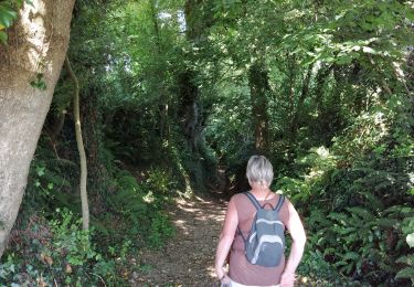
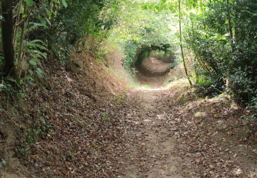
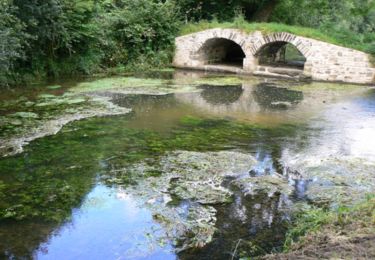
Au départ du complexe sportif d'Yvetot-Bocage pour un petit tour dans la campagne environnante. Négreville, l'Etang-Bertrand, Magneville, Golleville, Colomby, Morville. Une belle balade sur les chemins de campagne et dans les sous bois. Partis sur le 30 km après le ravitaillement, à mi-parcours, nous nous sommes égarés sur le 45 km pour le retour. Ce qui nous fait une distance de 42 km en fin de parcours. Merci à toute l’équipe et aux bénévoles pour cette belle randonnée.

Elevation profile

Photos

Positioning

Country:
France
Region :
Normandy
Department/Province :
Manche
Municipality :
Yvetot-Bocage
Location:
Unknown
Start:(UTM)
608201 ; 5482975 (30U) N.

Trails nearby

Trail Mountain bike Valognes - La JC M 2010 - Valognes - Photo
Mountain bike
tracegps

Mountain bike

Difficult
(1)
Valognes, Normandy, Manche, France
49 km | 59 km-effort
3h 0min
Yes
Trail Walking Hémevez - Hémevez - Photo
Walking
PatRando

Walking

Medium
Hémevez, Normandy, Manche, France
12.4 km | 13.7 km-effort
2h 31min
Yes
Trail Walking Valognes - Valognes - Photo
Walking
PatRando

Walking

Medium
Valognes, Normandy, Manche, France
11.8 km | 13.6 km-effort
2h 12min
Yes
Trail Mountain bike Valognes - La JCM 2013 - randonnée en pays valognais - Photo
Mountain bike
tracegps

Mountain bike

Difficult
Valognes, Normandy, Manche, France
54 km | 66 km-effort
3h 30min
Yes
Trail Mountain bike Valognes - Rando d''Alauna 2013  -  50 km - Valognes - Photo
Mountain bike
tracegps

Mountain bike

Difficult
Valognes, Normandy, Manche, France
47 km | 56 km-effort
2h 30min
No
Trail Mountain bike Saint-Joseph - Le printemps - Saint Joseph - Photo
Mountain bike
tracegps

Mountain bike

Medium
Saint-Joseph, Normandy, Manche, France
35 km | 43 km-effort
2h 0min
Yes
Trail Walking Urville - ueville - Photo
Walking
xcreator

Walking

Medium
Urville, Normandy, Manche, France
9.2 km | 10.3 km-effort
1h 59min
No
Trail Walking Tamerville - Tamerville - Photo
Walking
PatRando

Walking

Medium
Tamerville, Normandy, Manche, France
17.2 km | 20 km-effort
2h 55min
Yes
Trail Walking Colomby - Le Cul de fer - Colomby - Photo
Walking
tracegps

Walking

Medium
(2)
Colomby, Normandy, Manche, France
11 km | 12.2 km-effort
3h 30min
Yes


Close
My subscriptions