


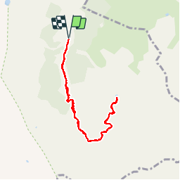

5.7 km | 7.8 km-effort

User

FREE GPS app for hiking
 SityTrail
IGN / Geographical institutes
SityTrail World
The world is yours!
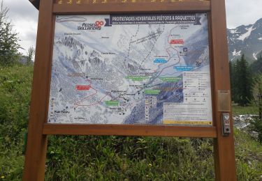
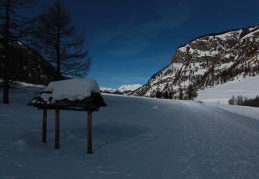
Trail Walking of 8.4 km to be discovered at Auvergne-Rhône-Alpes, Savoy, La Plagne-Tarentaise. This trail is proposed by BernardThiry.
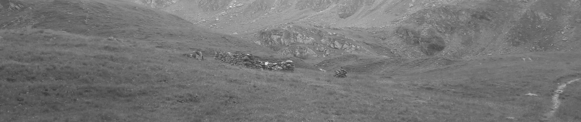
belle promenade dans une vallée où il y a très peu de monde. Bon dénivelé, une belle montée et arrivée dans un petit lac où on peut se baigner en été très peu de monde


On foot

On foot

On foot

On foot

On foot
Walking

Walking
Walking
Snowshoes