


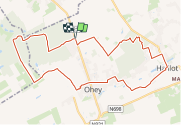


17.8 km | 23 km-effort

Destination Condroz-Famenne- une nature préservée PRO


FREE GPS app for hiking
 SityTrail
IGN / Geographical institutes
SityTrail World
The world is yours!
Trail Walking of 11.1 km to be discovered at Wallonia, Namur, Ohey. This trail is proposed by Vallées des Saveurs - Maison du Tourisme Condroz-Famenne.
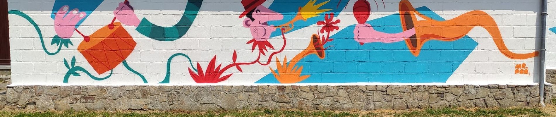
Cette boucle de 12 km autour d'Ohey vous fera découvrir 5 oeuvres de Sentiers d'Art et une de la Fête de Mai.


Walking

Walking

Walking

Walking

Walking

Walking

Walking

Walking
Walking
Beaucoup trop de longues sections en zones résidentielles sans le moindre charme.