7.4 km | 10.8 km-effort
le mayet la prune.
terminatoy
User
Length
21 km
Max alt
958 m
Uphill gradient
849 m
Km-Effort
32 km
Min alt
547 m
Downhill gradient
706 m
Boucle
No
Creation date :
2019-07-14 11:52:28.643
Updated on :
2019-07-17 14:07:06.704
3h27
Difficulty : Easy
FREE GPS app for hiking
About
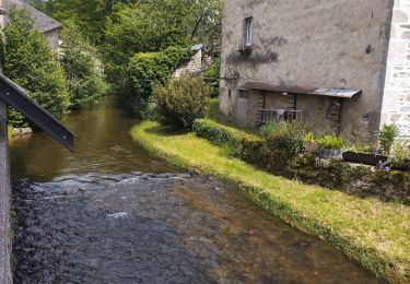
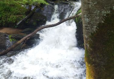
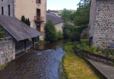
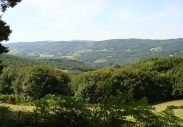
Trail 4x4 of 21 km to be discovered at Auvergne-Rhône-Alpes, Allier, Le Mayet-de-Montagne. This trail is proposed by terminatoy.
Positioning
Country:
France
Region :
Auvergne-Rhône-Alpes
Department/Province :
Allier
Municipality :
Le Mayet-de-Montagne
Location:
Unknown
Start:(Dec)
Start:(UTM)
552077 ; 5100899 (31T) N.
Comments
Trails nearby
Balade autour de Ferrières sur Sichon
Walking
Medium
(2)
Ferrières-sur-Sichon,
Auvergne-Rhône-Alpes,
Allier,
France
2h 15min
Yes
Arboretum
Walking
Very easy
Ferrières-sur-Sichon,
Auvergne-Rhône-Alpes,
Allier,
France
3 km | 4.5 km-effort
1h 2min
No
Grotte des fées y cascade
Walking
Very easy
Ferrières-sur-Sichon,
Auvergne-Rhône-Alpes,
Allier,
France
5.1 km | 6.7 km-effort
1h 15min
Yes
circuit du moulin neuf
Trail
Easy
Ferrières-sur-Sichon,
Auvergne-Rhône-Alpes,
Allier,
France
12.3 km | 17.8 km-effort
1h 15min
Yes
Saint Clément
Walking
Difficult
Le Mayet-de-Montagne,
Auvergne-Rhône-Alpes,
Allier,
France
15.9 km | 23 km-effort
3h 30min
Yes
Le Grand Roc - Le Mallot
Walking
Medium
Le Mayet-de-Montagne,
Auvergne-Rhône-Alpes,
Allier,
France
10.4 km | 15.2 km-effort
2h 45min
Yes
Boucle autour du Cluzel - Arronnes
Walking
Medium
Le Mayet-de-Montagne,
Auvergne-Rhône-Alpes,
Allier,
France
12 km | 15.8 km-effort
2h 45min
Yes
Balade autour de Chaudagne
Walking
Medium
La Chabanne,
Auvergne-Rhône-Alpes,
Allier,
France
8 km | 11.1 km-effort
2h 0min
Yes
2024-06-16_20h48m09_st-clement-03250
Equestrian
Medium
Saint-Clément,
Auvergne-Rhône-Alpes,
Allier,
France
30 km | 42 km-effort
Unknown
Yes
portion pas adapté pour un Toyota Land cruiser long plutôt adapté pour un 4x4 préparer avec full protection quel dommage