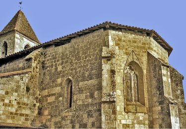
4.6 km | 5.9 km-effort
Caubeyres - Fargues-sur-Ourbise
Domie38
User
Length
9.3 km
Max alt
127 m
Uphill gradient
68 m
Km-Effort
10.2 km
Min alt
105 m
Downhill gradient
68 m
Boucle
Yes
Creation date :
2019-07-17 07:36:32.0
Updated on :
2019-07-17 10:04:41.756
1h41
Difficulty : Medium
FREE GPS app for hiking
About
Trail Walking of 9.3 km to be discovered at New Aquitaine, Lot-et-Garonne, Caubeyres. This trail is proposed by Domie38.
Description
Sortie épicerie à pied par la route 285
Positioning
Country:
France
Region :
New Aquitaine
Department/Province :
Lot-et-Garonne
Municipality :
Caubeyres
Location:
Unknown
Start:(Dec)
Start:(UTM)
276537 ; 4904009 (31T) N.
Comments
Trails nearby
Xaintrailles, la balade du château - 4.7 km
On foot
Easy
Xaintrailles,
New Aquitaine,
Lot-et-Garonne,
France
1h 19min
Yes
Fargues-sur-Ourbise, une île en forêt - 11.7 km
On foot
Easy
Fargues-sur-Ourbise,
New Aquitaine,
Lot-et-Garonne,
France
9.9 km | 11.2 km-effort
2h 32min
No
Caubeyres, la fontaine bouillonnante - 10.7 km
On foot
Easy
Caubeyres,
New Aquitaine,
Lot-et-Garonne,
France
10.2 km | 12.8 km-effort
2h 54min
Yes
Saint-Pierre-de-Buzet, la randonnée du Cap-du-Bosc - 12 km
On foot
Easy
Damazan,
New Aquitaine,
Lot-et-Garonne,
France
14.1 km | 19 km-effort
4h 19min
Yes
Ambrus, la balade forestière de Pelane - 7.3 km
On foot
Easy
Xaintrailles,
New Aquitaine,
Lot-et-Garonne,
France
7.1 km | 8.8 km-effort
1h 59min
Yes
Ambrus, promenade vers le vignoble de Padère - 9.5 km
On foot
Easy
Xaintrailles,
New Aquitaine,
Lot-et-Garonne,
France
5.1 km | 6.1 km-effort
1h 23min
No
Ambrus, découverte de la forêt - 6.2 km
On foot
Easy
Xaintrailles,
New Aquitaine,
Lot-et-Garonne,
France
6.2 km | 7.7 km-effort
1h 45min
Yes
Anzex, la promenade de Pèleperdrix (7,9 km, balisage jaune)
On foot
Easy
Anzex,
New Aquitaine,
Lot-et-Garonne,
France
7.6 km | 9.4 km-effort
2h 8min
No
Antenne Caubeyres
Walking
Medium
Caubeyres,
New Aquitaine,
Lot-et-Garonne,
France
9.4 km | 11.6 km-effort
2h 24min
Yes