


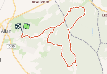

19.1 km | 26 km-effort

User


FREE GPS app for hiking
 SityTrail
IGN / Geographical institutes
SityTrail World
The world is yours!
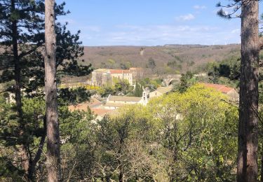
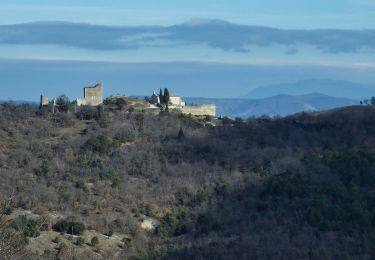
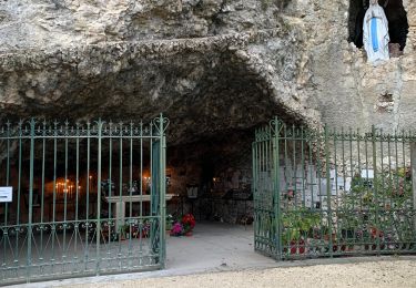
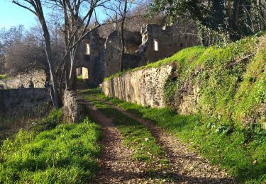
Trail Nordic walking of 13.1 km to be discovered at Auvergne-Rhône-Alpes, Drôme, Allan. This trail is proposed by Maryma.
la difficulté réside surtout dans des passages avec de gros cailloux.
A la fontaine d'Artur, faites une boucle NE en passant par le point altimétrique 225 pour revenir sur le chemin. Ce qui sera moins raide avec un sentier plus propice à la marche.
Au mémorial, éviter l'aller retour. Fausse route.
En fin de parcours, on peut écourter en passant par une petite route. J'ai fait le choix d'un sentier ombragé.
Sur le temps de parcours vous gagnerez facilement 20 mn car j'ai marqué plusieurs arrêts pour m'orienter.


Walking

Mountain bike


sport
Walking
Walking
Walking
Walking
Walking
Walking