


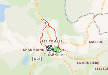

17.4 km | 24 km-effort


User


FREE GPS app for hiking
 SityTrail
IGN / Geographical institutes
SityTrail World
The world is yours!
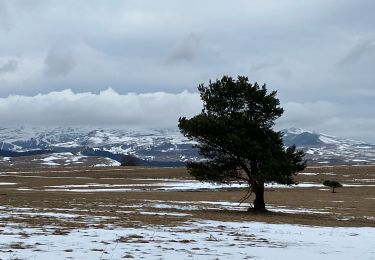
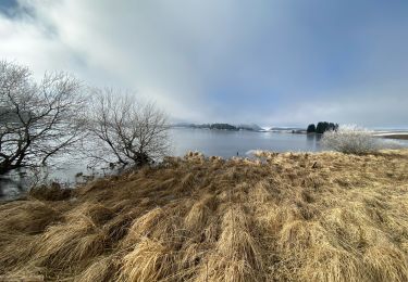
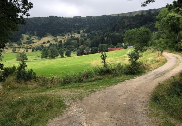
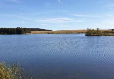
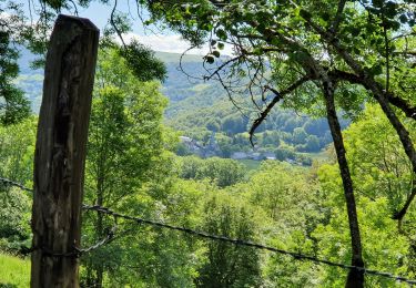
Trail Walking of 5.8 km to be discovered at Auvergne-Rhône-Alpes, Puy-de-Dôme, Compains. This trail is proposed by s0c7.
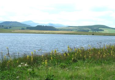
Très jolie ballade facile dans de beaux sous bois. On serpente le long de beaux ruisseaux et propose de jolies vues sur l'ensemble de la région.
On foot
On foot
On foot
Walking
Walking
Walking

Walking
Walking
Walking