


7.3 km | 7.8 km-effort


User


FREE GPS app for hiking
 SityTrail
IGN / Geographical institutes
SityTrail World
The world is yours!
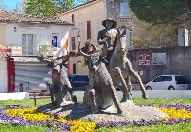
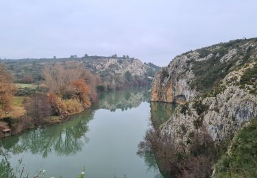
Trail Walking of 15.1 km to be discovered at Occitania, Gard, Aimargues. This trail is proposed by jeff66.
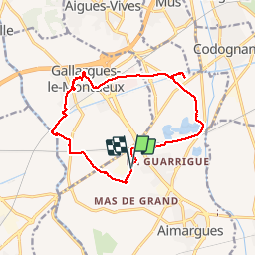
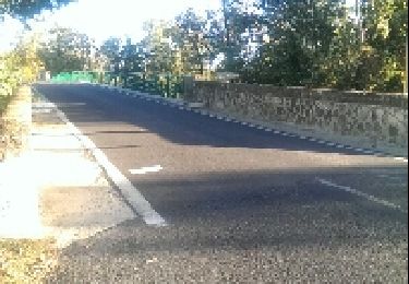
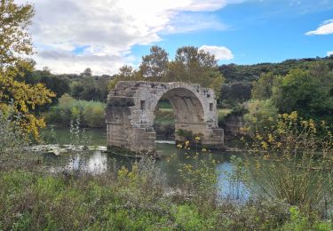
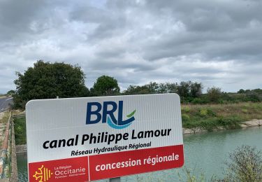
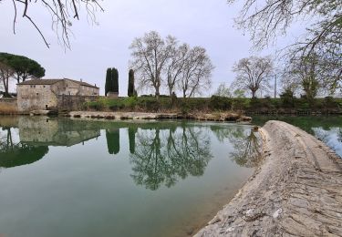
RP30 AIMARGUES - parking à proximité de Royal canin - piste cyclable le long de la LGV - bas Mas rouge - carrière Lazard - Daonnes - RN113 - cimetiere et vestiges de Pataran - canal BRL - RD142 - GALLARGUES-LE-MONTUEUX - Larbonne - le Piot - passer sous l’échangeur de l’A9 - centre ville - camping - stades - Monteil - longer le
Canal - le vidourle - le moulin Rout - RD12 - ligne LGV - AIMARGUES - grand Brandouîn - La grande closade - RN113 - La Peyre - le 14.07.19
Walking

Mountain bike
Walking

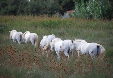
Equestrian
Walking
Walking
Walking
Walking