


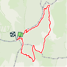

13.1 km | 24 km-effort


User


FREE GPS app for hiking
 SityTrail
IGN / Geographical institutes
SityTrail World
The world is yours!
Trail Walking of 10.7 km to be discovered at Auvergne-Rhône-Alpes, Savoy, Jarsy. This trail is proposed by margotte.
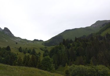
belle montée raide avec une flore exceptionnelle et la rencontre des sangliers et des mouflons..Végétation haute, ne pas craindre d'être mouillé jusqu'au cuisse.

Walking
Walking

Walking

Walking

Horseback riding

Walking

Walking

Walking

Touring skiing