


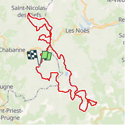

12.2 km | 18.2 km-effort


User


FREE GPS app for hiking
 SityTrail
IGN / Geographical institutes
SityTrail World
The world is yours!
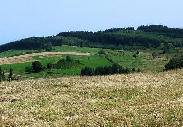
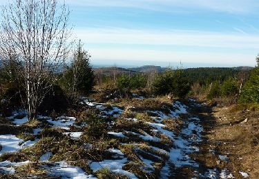
Trail Mountain bike of 46 km to be discovered at Auvergne-Rhône-Alpes, Allier, Laprugne. This trail is proposed by jpc42.
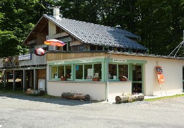
Départ de la Loge des Gardes
Circuit roulant, et quelques passages dans les cailloux.
Réalisé en juillet 2019 en VTTAE
Walking

Walking
Walking
Walking
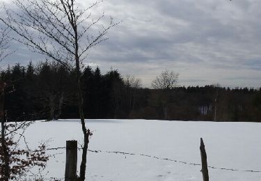
Snowshoes
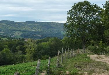
Mountain bike
Mountain bike
Mountain bike
Running