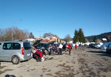
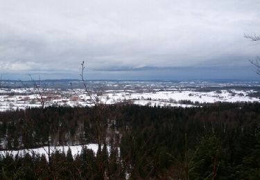
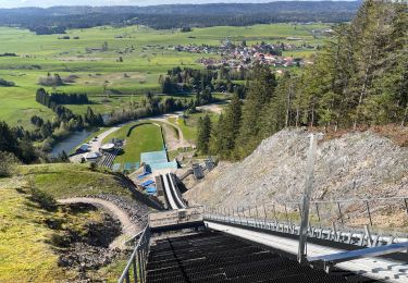
9.1 km | 12.5 km-effort
Chaux-Neuve-19-9
gerardmicheline
User
Length
19.1 km
Max alt
1206 m
Uphill gradient
486 m
Km-Effort
26 km
Min alt
973 m
Downhill gradient
488 m
Boucle
Yes
Creation date :
2019-07-08 17:35:59.038
Updated on :
2019-07-08 17:56:43.906
5h26
Difficulty : Very difficult
FREE GPS app for hiking
About
Trail Walking of 19.1 km to be discovered at Bourgogne-Franche-Comté, Doubs, Mouthe. This trail is proposed by gerardmicheline.
Description
randonnée crée par Pierre
Positioning
Country:
France
Region :
Bourgogne-Franche-Comté
Department/Province :
Doubs
Municipality :
Mouthe
Location:
Unknown
Start:(Dec)
Start:(UTM)
284180 ; 5175103 (32T) N.
Comments
Trails nearby
2024-02-19_10h54m37_visorando-vue-sur-le-haut-du-tremplin-de-chaux-neuve-et-l...
Walking
Difficult
(1)
Chaux-Neuve,
Bourgogne-Franche-Comté,
Doubs,
France
2h 50min
Yes
Mouthe - La Source du Doubs
Walking
Very easy
(1)
Mouthe,
Bourgogne-Franche-Comté,
Doubs,
France
5.4 km | 6.5 km-effort
Unknown
Yes
Les Roches
On foot
Easy
Mouthe,
Bourgogne-Franche-Comté,
Doubs,
France
4.2 km | 6.1 km-effort
1h 23min
Yes
Le Rivier
On foot
Easy
Rondefontaine,
Bourgogne-Franche-Comté,
Doubs,
France
9.5 km | 12.5 km-effort
2h 51min
Yes
Cerniébaud 24 sept 2020 CAF
Walking
Difficult
Fraroz,
Bourgogne-Franche-Comté,
Jura,
France
21 km | 29 km-effort
6h 9min
Yes
Chalet Haute Joux
Snowshoes
Medium
Cerniébaud,
Bourgogne-Franche-Comté,
Jura,
France
20 km | 25 km-effort
5h 42min
Yes
Cerniébaud - Combe Simon
Snowshoes
Medium
Cerniébaud,
Bourgogne-Franche-Comté,
Jura,
France
8.7 km | 11.7 km-effort
2h 52min
Yes
Balade du parc polaire
Walking
Medium
Chaux-Neuve,
Bourgogne-Franche-Comté,
Doubs,
France
6.8 km | 10.1 km-effort
1h 30min
Yes
GTJ 4 Mouthe, Foncine le Haut
Walking
Medium
Mouthe,
Bourgogne-Franche-Comté,
Doubs,
France
28 km | 39 km-effort
7h 12min
No