


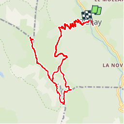

11.4 km | 24 km-effort


User

FREE GPS app for hiking
 SityTrail
IGN / Geographical institutes
SityTrail World
The world is yours!
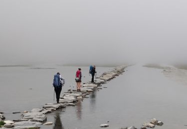
Trail Walking of 15.1 km to be discovered at Auvergne-Rhône-Alpes, Savoy, Planay. This trail is proposed by charollois.
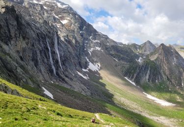
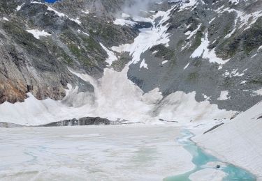
Très beau sentier en forêt, raide, puis paysages superbe et luxuriante faune.

Walking

Walking

Walking

Walking
Walking
Walking

Walking
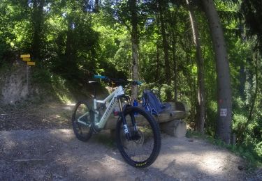
Mountain bike
Walking