


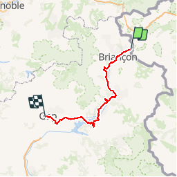

15.4 km | 32 km-effort

User GUIDE


FREE GPS app for hiking
 SityTrail
IGN / Geographical institutes
SityTrail World
The world is yours!
Trail Walking of 159 km to be discovered at Piemont, Torino, Claviere. This trail is proposed by R@ph.
Vous avez ici l'intégralité du parcours sur le GR 653D (Chemin de Saint Jacques) au départ de Clavière devant l'office du Tourisme jusqu'à GAP.
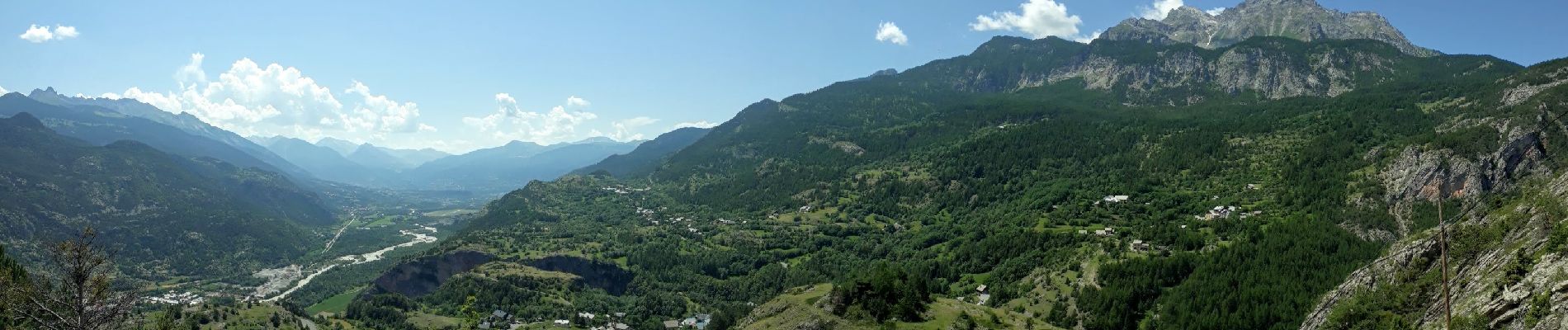
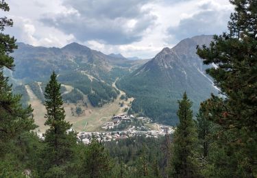
Ce parcours a été effectué dans sa totalité du 1er au 6 juillet 2019 en hébergement Gîte ou Donativo selon le cas. Malgré quelques points de repérage délicats l'ensemble est assez bien marqué et relativement facile à suivre. Aucun passage ne nécessite de compétence particulière, nous sommes bien sur un chemin de grande randonnée accessible à tous ceux qui ont l'habitude de marcher en montagne. Selon moi quelques passages sans grands intérêts ou un peu trop "bitumeux" auraient pu être évité. Cet itinéraire suit le topo guide "sentier vers Saint-Jacques - Montgenevre - Arles" (réf 6531). A ce titre il s'agit d'un compromis entre un chemin "Jacquaire" et "Romieu" historique.


Walking

Walking

Walking

Walking

Walking

Walking

Walking

Mountain bike
Walking