8.5 km | 10 km-effort
mamers
Yannick.Boireau
User
Length
4.6 km
Max alt
137 m
Uphill gradient
42 m
Km-Effort
5.1 km
Min alt
115 m
Downhill gradient
40 m
Boucle
Yes
Creation date :
2019-07-05 15:35:34.005
Updated on :
2019-07-05 17:49:45.608
2h12
Difficulty : Very easy
FREE GPS app for hiking
About
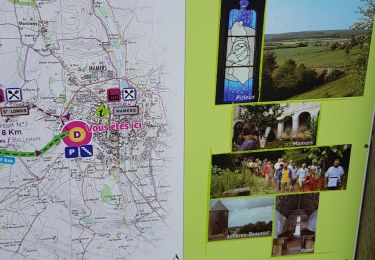
Trail Walking of 4.6 km to be discovered at Pays de la Loire, Sarthe, Mamers. This trail is proposed by Yannick.Boireau.
Positioning
Country:
France
Region :
Pays de la Loire
Department/Province :
Sarthe
Municipality :
Mamers
Location:
Unknown
Start:(Dec)
Start:(UTM)
305378 ; 5359351 (31U) N.
Comments
Trails nearby
[Itinéraire] La fontaine de Montperthuis
Walking
Medium
Belforêt-en-Perche,
Normandy,
Orne,
France
5.1 km | 6.5 km-effort
1h 29min
Yes
Contilly 8,0 Km
Walking
Easy
Contilly,
Pays de la Loire,
Sarthe,
France
8 km | 9.3 km-effort
2h 3min
Yes
Au fil des chemins du Saosnois - Circuit n°5
Mountain bike
Medium
Mamers,
Pays de la Loire,
Sarthe,
France
28 km | 34 km-effort
2h 0min
Yes
NewTrack
On foot
Easy
Saint-Longis,
Pays de la Loire,
Sarthe,
France
15.2 km | 18.6 km-effort
4h 13min
Yes
2012-05-19 16h26m08
Walking
Medium
Mamers,
Pays de la Loire,
Sarthe,
France
24 km | 28 km-effort
5h 43min
Yes