


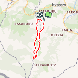

9.2 km | 14.1 km-effort

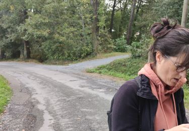
User


FREE GPS app for hiking
 SityTrail
IGN / Geographical institutes
SityTrail World
The world is yours!
Trail Walking of 9.5 km to be discovered at New Aquitaine, Pyrénées-Atlantiques, Itxassou. This trail is proposed by jaja64.
En boucle du col de Légarré au col de Zuharrétako Lépoa.
Grand classique du pays Basques. Attention tout de même au col Zuharrétako Lépoa a ne pas descendre GR10 comme je l'ai fais . Prendre le sentier sous l'Urretzi. ;) J'ai pas corrigé ma trace et du remonter .
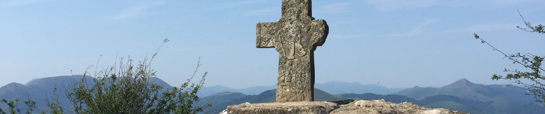
Très belle rando facile.


Walking

Walking
Walking

Walking

Walking

Walking

Walking
Walking
Walking