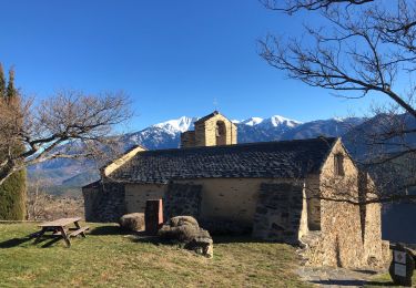
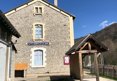
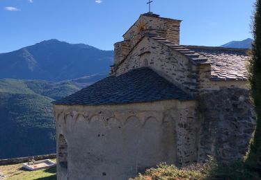
3.2 km | 5.6 km-effort
evol
sonnier
User
Length
22 km
Max alt
1744 m
Uphill gradient
1085 m
Km-Effort
37 km
Min alt
790 m
Downhill gradient
1082 m
Boucle
Yes
Creation date :
2019-07-03 08:58:43.11
Updated on :
2019-07-03 12:02:29.713
3h02
Difficulty : Very easy
FREE GPS app for hiking
About
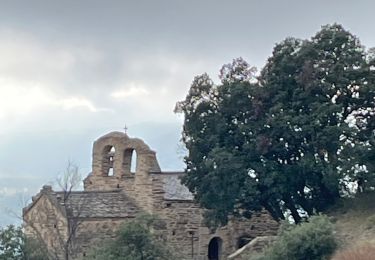
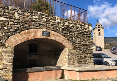
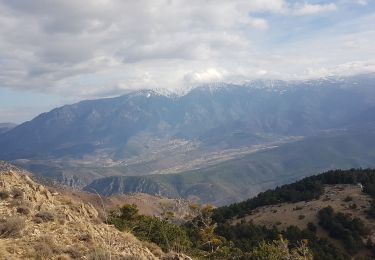
Trail Mountain bike of 22 km to be discovered at Occitania, Pyrénées-Orientales, Olette. This trail is proposed by sonnier.
Positioning
Country:
France
Region :
Occitania
Department/Province :
Pyrénées-Orientales
Municipality :
Olette
Location:
Unknown
Start:(Dec)
Start:(UTM)
438744 ; 4713440 (31T) N.
Comments
Trails nearby
Evol village et chateau ( Olette)
Walking
Easy
(1)
Olette,
Occitania,
Pyrénées-Orientales,
France
1h 16min
Yes
Jujols 1
Walking
Medium
(1)
Jujols,
Occitania,
Pyrénées-Orientales,
France
13.2 km | 22 km-effort
4h 2min
Yes
20241101 Flassa
sport
Very easy
Serdinya,
Occitania,
Pyrénées-Orientales,
France
13.6 km | 25 km-effort
Unknown
Yes
jujols marbre rouge
Walking
Very difficult
Jujols,
Occitania,
Pyrénées-Orientales,
France
16.5 km | 28 km-effort
9h 13min
Yes
20221120 Canaveilles - Llar
Walking
Medium
Canaveilles,
Occitania,
Pyrénées-Orientales,
France
11 km | 20 km-effort
3h 15min
Yes
flassa. taratera 850 positif 13km 4h30
Walking
Very difficult
Serdinya,
Occitania,
Pyrénées-Orientales,
France
13.8 km | 25 km-effort
4h 21min
Yes
20211216 Olette
Walking
Medium
Olette,
Occitania,
Pyrénées-Orientales,
France
16 km | 28 km-effort
5h 8min
Yes
20210403 boucle Olette par Evol
Walking
Difficult
Olette,
Occitania,
Pyrénées-Orientales,
France
18 km | 32 km-effort
5h 31min
Yes
20210103 Jujols sentier des bergeries +++
Walking
Medium
(1)
Jujols,
Occitania,
Pyrénées-Orientales,
France
13.1 km | 25 km-effort
4h 23min
Yes