


9.8 km | 16.7 km-effort

User

FREE GPS app for hiking
 SityTrail
IGN / Geographical institutes
SityTrail World
The world is yours!
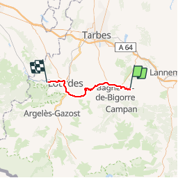
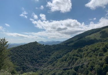
Trail Bicycle tourism of 42 km to be discovered at Occitania, Hautespyrenees, Bettes. This trail is proposed by karawatsj.
We volgen de D26 tot in Lourdes. We dalen eerst 200m om het stroompje de Luz over te steken en stijgen dan om vervolgen weer af te dalen naar de Petit Luz. Daarna stijgt het weer naar Haut de Côte om af te dalen naar de Adour. We steken de Adour over ten noorden van de grote stad Bagnère-de-Bigorre.
We laten nu de haast verlaten regio Baronnie (2 inw/km2) achter ons en zetten koers naar Lourdes.
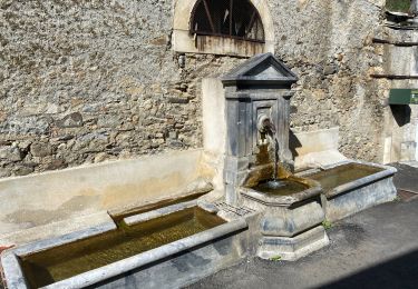
Hiervoor moeten we wel eerst 300m klimmen tot Neuilh om dan een zeer lange afdaling naar Lourdes in te zetten. We rijden door Lourdes tot aan de Kathedraal en de quitcherige souvenierswinkeltjes.
We verlaten Lourdes langs de westzijde door het Forêt de St-Pé-de-Bigorre en volgen de Gave de Pau stroomopwaarts tot het gelijknamige en heel rustige stadje.


Walking


sport

Walking
Walking
Mountain bike
Walking
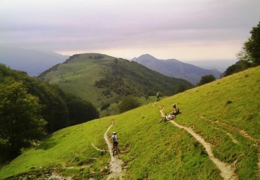
Mountain bike
Walking