


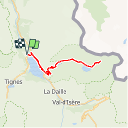

13.8 km | 23 km-effort

User


FREE GPS app for hiking
 SityTrail
IGN / Geographical institutes
SityTrail World
The world is yours!
Trail Walking of 28 km to be discovered at Auvergne-Rhône-Alpes, Savoy, Tignes. This trail is proposed by phdsyn.
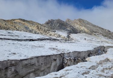
Depuis l'arrêt de bus de Tignes 1800 jusque au glacier de Santel.
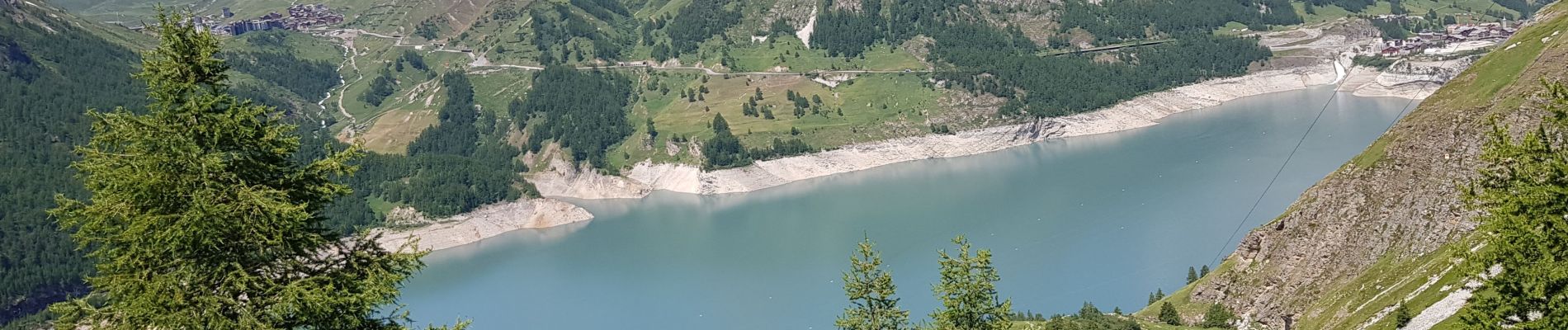
Après le lac de Santel au bout du chemin, on passe en mode marche.
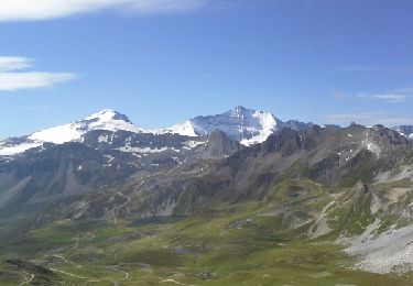
l'utilisation de bâtons est vivement conseillée.


Walking
Walking

Walking

Other activity

Walking

Walking
Mountain bike

Walking
Walking
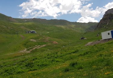
On a adoré cette randonnée.