


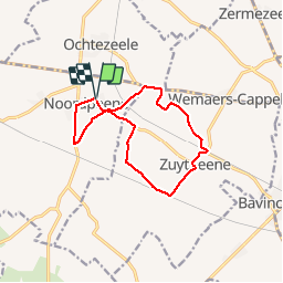

7.1 km | 7.8 km-effort


User


FREE GPS app for hiking
 SityTrail
IGN / Geographical institutes
SityTrail World
The world is yours!
Trail Nordic walking of 10.7 km to be discovered at Hauts-de-France, Nord, Noordpeene. This trail is proposed by denissculier.
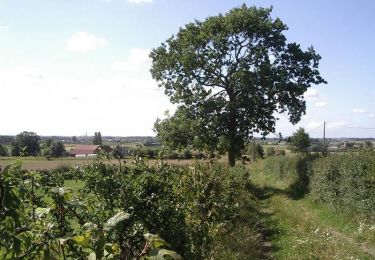
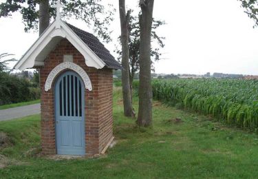
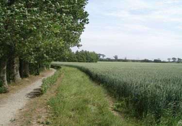
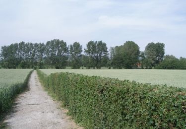
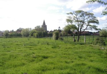
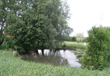
Circuit à la découverte du site de la bataille de la Peene (1677) au pied du Mont Cassel. Ce circuit emprunte de nombreuses petites routes de campagne, mais présentant peu de circulation. Meilleure période d'avril à octobre. Balisage jaune

Walking
Walking
Walking
Walking
Walking

Walking
Walking
Walking

Walking