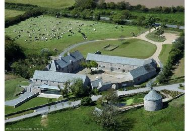
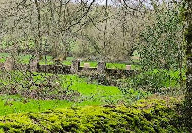
57 km | 70 km-effort
20130925-manche 2
doudet
User
Length
12.8 km
Max alt
149 m
Uphill gradient
217 m
Km-Effort
15.7 km
Min alt
40 m
Downhill gradient
216 m
Boucle
Yes
Creation date :
2019-07-02 07:06:34.832
Updated on :
2019-07-02 07:06:34.832
--
Difficulty : Unknown
FREE GPS app for hiking
About
Trail Walking of 12.8 km to be discovered at Normandy, Manche, Teurthéville-Hague. This trail is proposed by doudet.
Positioning
Country:
France
Region :
Normandy
Department/Province :
Manche
Municipality :
Teurthéville-Hague
Location:
Unknown
Start:(Dec)
Start:(UTM)
591940 ; 5493016 (30U) N.
Comments
Trails nearby
Le Chaudron de Thor 2013 - 60 km - Vasteville
Mountain bike
Difficult
La Hague,
Normandy,
Manche,
France
3h 0min
Yes
Les fils d'Artaud - Vasteville
Mountain bike
Medium
La Hague,
Normandy,
Manche,
France
34 km | 40 km-effort
2h 0min
Yes
Guillaume spot 2012 - Vasteville
Mountain bike
Easy
La Hague,
Normandy,
Manche,
France
28 km | 33 km-effort
1h 30min
Yes
De Flottemanville Hague à Acqueville par Tonneville - Circuit n° 01
Mountain bike
Medium
La Hague,
Normandy,
Manche,
France
15.7 km | 19.1 km-effort
1h 10min
Yes
Le Tour de Grégoire - Vasteville
Mountain bike
Medium
La Hague,
Normandy,
Manche,
France
23 km | 28 km-effort
2h 0min
Yes
Chaudron de Thor 2011 - 60 kms - Vasteville
Mountain bike
Difficult
La Hague,
Normandy,
Manche,
France
64 km | 76 km-effort
3h 30min
Yes
Guillaume's spot 2011 - Vasteville
Mountain bike
Medium
La Hague,
Normandy,
Manche,
France
32 km | 39 km-effort
2h 0min
No
Sideville 18 mars 2024
Walking
Easy
Sideville,
Normandy,
Manche,
France
7.7 km | 9.9 km-effort
1h 52min
Yes
St christophecdu foc
Walking
Difficult
Saint-Christophe-du-Foc,
Normandy,
Manche,
France
11.1 km | 12.7 km-effort
3h 8min
Yes