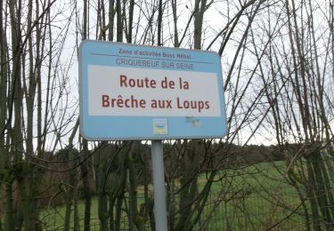
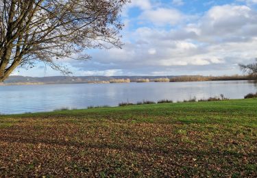
8.7 km | 9.3 km-effort
20151124-pont de l arche COOL
doudet
User
Length
8.7 km
Max alt
70 m
Uphill gradient
116 m
Km-Effort
10.2 km
Min alt
5 m
Downhill gradient
120 m
Boucle
Yes
Creation date :
2019-07-02 06:57:55.875
Updated on :
2019-07-02 06:57:55.875
--
Difficulty : Unknown
FREE GPS app for hiking
About
Trail Walking of 8.7 km to be discovered at Normandy, Eure, Pont-de-l'Arche. This trail is proposed by doudet.
Positioning
Country:
France
Region :
Normandy
Department/Province :
Eure
Municipality :
Pont-de-l'Arche
Location:
Unknown
Start:(Dec)
Start:(UTM)
366064 ; 5463079 (31U) N.
Comments
Trails nearby
Sotteville sous le Val vers Igoville
Walking
Easy
(1)
Sotteville-sous-le-Val,
Normandy,
Seine-Maritime,
France
1h 48min
Yes
20190820_135035
Trail
Very easy
(1)
Les Damps,
Normandy,
Eure,
France
10.9 km | 12.5 km-effort
Unknown
Yes
Pont de l'Arche/ Les Damps (126)
Walking
Medium
(4)
Pont-de-l'Arche,
Normandy,
Eure,
France
11.5 km | 13.9 km-effort
3h 3min
Yes
Ymare
Walking
Very easy
(1)
Ymare,
Normandy,
Seine-Maritime,
France
8.9 km | 10.6 km-effort
2h 0min
Yes
*les Authieux Igoville 15km
Walking
Very easy
(1)
Les Authieux-sur-le-Port-Saint-Ouen,
Normandy,
Seine-Maritime,
France
13.9 km | 16.5 km-effort
3h 37min
Yes
20240305-Gouy
Walking
Medium
Les Authieux-sur-le-Port-Saint-Ouen,
Normandy,
Seine-Maritime,
France
10.7 km | 13.1 km-effort
2h 35min
Yes
20240220-Criquebeuf Cool
Walking
Easy
Criquebeuf-sur-Seine,
Normandy,
Eure,
France
9.8 km | 11 km-effort
2h 20min
Yes
20240206-Sotteville sous le Val
Walking
Medium
Sotteville-sous-le-Val,
Normandy,
Seine-Maritime,
France
11.4 km | 13.5 km-effort
2h 34min
Yes
20231212-Les Damps
Walking
Medium
Les Damps,
Normandy,
Eure,
France
9.5 km | 11.1 km-effort
2h 39min
Yes