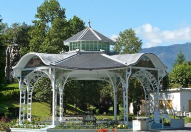
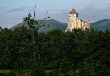
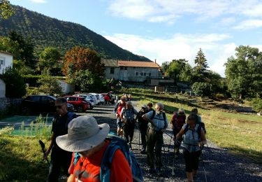
Trail Bicycle tourism Barbazan - Barbazan - Les Bettes - Photo

Barbazan - Les Bettes

© OpenStreetMap contributors
Length
Length
57 km
Max alt
Max alt
765 m
Uphill gradient
Uphill gradient
1296 m
Km-Effort
Km-Effort  
74 km
Min alt
Min alt
418 m
Downhill gradient
Downhill gradient
1185 m
Boucle
Boucle
No
Creation date :
2019-07-01 05:38:23.145
Updated on :
2019-07-01 17:33:18.501

(0 Reviews)

Bicycle tourism
Bicycle tourism
4h15
Difficulty : Very difficult

Scan this QR Code to open this trail in the SityTrail application

FREE GPS app for hiking

Logo SityTrail SityTrail
IGN / Geographical institutes

Download SityTrail from the App Store Download SityTrail from Google Play

Logo SityTrail SityTrail World
The world is yours!

Download SityTrail from the App Store Download SityTrail from Google Play Download SityTrail on Huawei AppGallery

About

Trail Bicycle tourism of 57 km to be discovered at Occitania, Haute-Garonne, Barbazan. This trail is proposed by karawatsj.

Description

Een stevige fietsdag met veel klimwerk.

We volgen de hele tocht de D26.

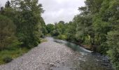
We dalen af en al snel steken we de Garonne over die hier nog maar heel smal is.

We volgen de vallei van de rivier "Le Neste" stroomopwaarts en overwinnen daarvoor de Col de Mazoua. 

We dalen dan een beetje en steken tenslotte de Neste over.

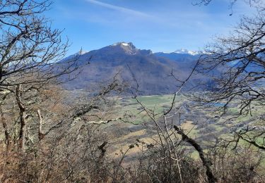
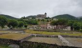
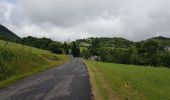
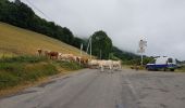
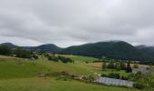
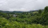
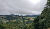
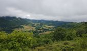
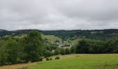
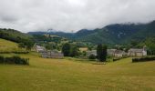
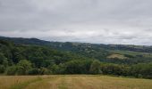
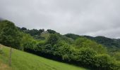
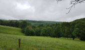
We krijgen zicht op mooie valleien, maar de lage bewolking verbergt de Hoge Pyreneën. We bevinden ons nochtans in het departement Hautes Pyrenées. De bewolking zal de ganse dag onopgelost blijven hangen.

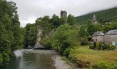
Na de oversteek van de Neste volgen nog verschillende kleine riviertjes die we dwarsen.

Maar al die riviertjes dwarsen betekent ook telkens klimmen en dalen. Zo moeten we nog over de Col de Coupe, afdalen naar  de kom van Gouffre d'Esparros over de col Couret d'Asque en tenslotte klimmen naar Les Bettes. 

Elevation profile

Photos

Positioning

Country:
France
Region :
Occitania
Department/Province :
Haute-Garonne
Municipality :
Barbazan
Location:
Unknown
Start:(UTM)
306576 ; 4767319 (31T) N.

Trails nearby

Trail Walking Ardiège - Promenade autour d'Ardiège et de Cier de Rivière - Photo
Walking
tracegps

Walking

Easy
(1)
Ardiège, Occitania, Haute-Garonne, France
5 km | 6.4 km-effort
1h 15min
Yes
Trail Walking Saint-Bertrand-de-Comminges - Autour de Saint Bertrand de Comminges - Photo
Walking
tracegps

Walking

Difficult
(1)
Saint-Bertrand-de-Comminges, Occitania, Haute-Garonne, France
10.2 km | 17.1 km-effort
3h 30min
Yes
Trail Walking Seilhan - Tour de Seilhan - Photo
Walking
tracegps

Walking

Easy
(1)
Seilhan, Occitania, Haute-Garonne, France
5.9 km | 7.7 km-effort
1h 30min
Yes
Trail Walking Barbazan - Tour de Barbazan - Photo
Walking
tracegps

Walking

Easy
(2)
Barbazan, Occitania, Haute-Garonne, France
5.7 km | 7.3 km-effort
1h 30min
Yes
Trail Walking Antichan - sommet d'Herbe Rouge en boucle depuis Antichan  - Photo
Walking
GUIDE
lhomme.ph

Walking

Medium
Antichan, Occitania, Hautespyrenees, France
11.4 km | 20 km-effort
5h 47min
Yes
Trail On foot Saint-Bertrand-de-Comminges - Saint-Bertrand-de-Comminges : au coeur du Comminges - Photo
On foot
GUIDE+

On foot

Easy
Saint-Bertrand-de-Comminges, Occitania, Haute-Garonne, France
10.1 km | 17.1 km-effort
3h 52min
Yes
Trail Mountain bike Sauveterre-de-Comminges - sunday spin 8/6/14 - Photo
Mountain bike
ray23

Mountain bike

Difficult
(2)
Sauveterre-de-Comminges, Occitania, Haute-Garonne, France
18.2 km | 26 km-effort
2h 10min
Yes
Trail Walking Seilhan - bord de Garonne vers Labroquère  - Photo
Walking
GUIDE
lhomme.ph

Walking

Medium
Seilhan, Occitania, Haute-Garonne, France
9.5 km | 11.4 km-effort
2h 51min
Yes
Trail On foot Barbazan - BARBAZAN  le refuge saint-martin G3 Fait
On foot
GUIDE
marmotte65

On foot

Easy
Barbazan, Occitania, Haute-Garonne, France
11.2 km | 18.1 km-effort
3h 34min
Yes


Close
My subscriptions