


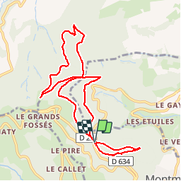

22 km | 35 km-effort


User


FREE GPS app for hiking
 SityTrail
IGN / Geographical institutes
SityTrail World
The world is yours!
Trail Walking of 9.9 km to be discovered at Auvergne-Rhône-Alpes, Rhône, Montmelas-Saint-Sorlin. This trail is proposed by Thomasdanielle.
D/A : Parking du Col de Saint Bonnet
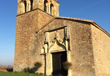
Selon la canicule (01/07/2019) nous n'avons pas eu le courage de monter jusqu'à la chapelle) donc nous avons écourté la marche qui était prévue
Sinon randonnée bien ombragée

On foot

Walking
Walking
Walking

Walking
Walking
Walking

Walking
Walking
Très beau parcours !