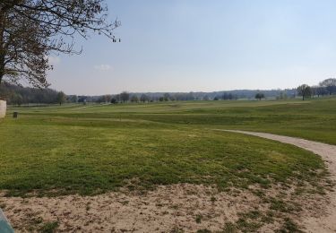
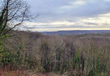
10.7 km | 13.7 km-effort
ST NOM JOYENVAL
les randos d'Olivier
partout a pied et en moto
Length
17.7 km
Max alt
192 m
Uphill gradient
342 m
Km-Effort
22 km
Min alt
93 m
Downhill gradient
340 m
Boucle
Yes
Creation date :
2019-07-01 06:12:05.747
Updated on :
2019-07-01 06:12:36.058
4h47
Difficulty : Very difficult
FREE GPS app for hiking
About
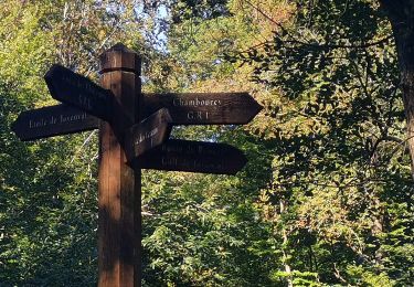
Trail Walking of 17.7 km to be discovered at Ile-de-France, Yvelines, L'Étang-la-Ville. This trail is proposed by les randos d'Olivier.
Positioning
Country:
France
Region :
Ile-de-France
Department/Province :
Yvelines
Municipality :
L'Étang-la-Ville
Location:
Unknown
Start:(Dec)
Start:(UTM)
430416 ; 5413184 (31U) N.
Comments
Trails nearby
Ballade autour du golf de Chambourcy
Walking
Medium
(1)
Chambourcy,
Ile-de-France,
Yvelines,
France
8.5 km | 10.6 km-effort
1h 55min
Yes
Boucle 25 km Marly le Roi - Chambourcy
Walking
Medium
Marly-le-Roi,
Ile-de-France,
Yvelines,
France
25 km | 32 km-effort
7h 15min
Yes
Audax St Germain en Laye - Paris Tour Eiffel
Walking
Easy
Saint-Germain-en-Laye,
Ile-de-France,
Yvelines,
France
29 km | 35 km-effort
4h 59min
No
Gare de St Nom - Boucle nocturne Gr ~2h 8,5km
Walking
Easy
(1)
L'Étang-la-Ville,
Ile-de-France,
Yvelines,
France
24 km | 28 km-effort
12h 14min
No
Le tour du Grand Paris par le GR1 Etape 2 - Saint Nom la Bretèche - Triel sur...
On foot
Difficult
L'Étang-la-Ville,
Ile-de-France,
Yvelines,
France
31 km | 36 km-effort
8h 16min
No
20230707 RS
Walking
Easy
(1)
Le Pecq,
Ile-de-France,
Yvelines,
France
5 km | 5.8 km-effort
1h 19min
Yes
Terrasse st germain
Walking
Very easy
Saint-Germain-en-Laye,
Ile-de-France,
Yvelines,
France
5.4 km | 6.1 km-effort
1h 27min
No