9.4 km | 9.9 km-effort
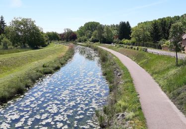
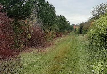
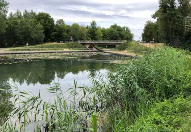
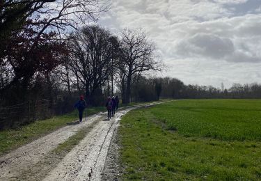
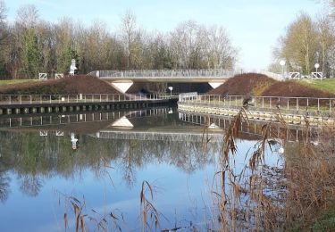
Boucle entre canal et champs
NANE51
User
Length
18.1 km
Boucle
Yes
Creation date :
2019-06-29 05:32:48.0
Updated on :
2019-06-29 09:41:05.295
4h07
Difficulty : Easy
FREE GPS app for hiking
About
Trail Walking of 18.1 km to be discovered at Grand Est, Aube, Vallant-Saint-Georges. This trail is proposed by NANE51.
Description
On peut se garer sur le parking derrière l’église de Vallant-Saint-Georges
Positioning
Country:
France
Region :
Grand Est
Department/Province :
Aube
Municipality :
Vallant-Saint-Georges
Location:
Unknown
Start:(Dec)
Start:(UTM)
566907 ; 5368808 (31U) N.
Comments
Trails nearby
de MÉRY SUR SEINE aux ÉTANGS de BRUN
Walking
Very easy
(1)
Méry-sur-Seine,
Grand Est,
Aube,
France
2h 25min
Yes
entre Méry sur Seine et Saint-Oulph
Walking
Very easy
Méry-sur-Seine,
Grand Est,
Aube,
France
6.4 km | 6.9 km-effort
1h 37min
Yes
Rilly Chauchigny saint mesmin
Walking
Very easy
Rilly-Sainte-Syre,
Grand Est,
Aube,
France
15.4 km | 17.7 km-effort
3h 24min
Yes
Boucle Mery sur Seine - Droupt-Saint-Basle
Walking
Easy
Méry-sur-Seine,
Grand Est,
Aube,
France
11.6 km | 12.2 km-effort
2h 17min
Yes
Droupt, Rilly, écluse 8
Walking
Easy
Droupt-Saint-Basle,
Grand Est,
Aube,
France
17.8 km | 19.8 km-effort
4h 9min
Yes
Rilly, Chauchigny, écluse 8
Walking
Very easy
Rilly-Sainte-Syre,
Grand Est,
Aube,
France
14.8 km | 17 km-effort
3h 25min
Yes
vallée de la seine
On foot
Easy
Saint-Mesmin,
Grand Est,
Aube,
France
13.3 km | 14.1 km-effort
3h 12min
Yes