


5.2 km | 7 km-effort

User


FREE GPS app for hiking
 SityTrail
IGN / Geographical institutes
SityTrail World
The world is yours!
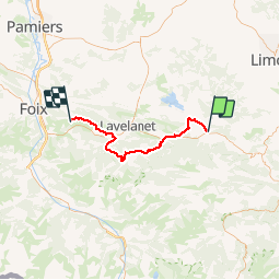
Trail Bicycle tourism of 49 km to be discovered at Occitania, Aude, Puivert. This trail is proposed by karawatsj.
Het is een hele mooie tocht maar wel erg zwaar.
De vallei van Rivel is zeer mooi. We klimmen uit de vallei naar de Col del Teil.
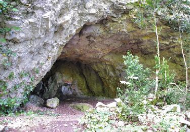
In Bélesta rijden we richting de Montségur en we passeren de Fontaine de Fontestorbes, een grot waaruit een rivier komt en die in geval van lange droogten slechts om het half uur gedurend een kwartier water geeft.
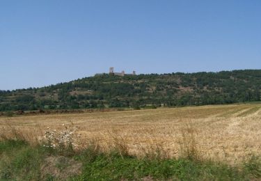
Bij de afdaling van de Montségur komen we door Monytferrier. Een leuke plaats om te picknicken net voorbij de brug. De kerk beschikt over een beiaard die om12u het liedje speelt van Lourdes op de Bergen.
We dalen verder af en steken de D117 over richting Roquefixade. Weer een stevige klim.
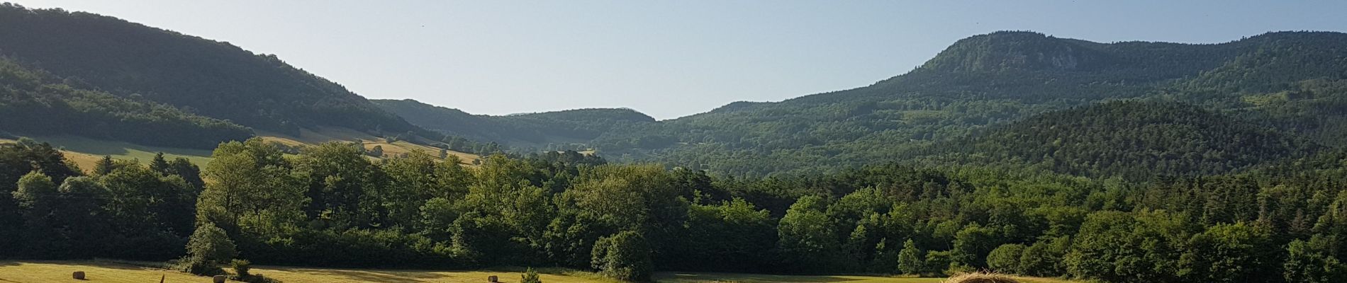
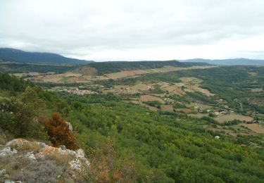
De beloning is echter groot. We krijgen een geweldig panorama van de vallei en van de hoge bergtoppen van de Pyreneeën waarvan
sommige nog besneeuwd zijn.
Genietend van dit uitzicht fietsen we naar St-Cirac. In de Chambres d' Hôtes "Infocus-du-sud kunnen we verder genieten van deze vergezichten vanuit het zwembad


Walking

Walking
Walking

Equestrian
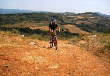
Mountain bike

Walking
Mountain bike
Walking

sport