


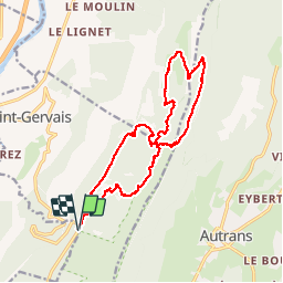

8.7 km | 12.9 km-effort

User

FREE GPS app for hiking
 SityTrail
IGN / Geographical institutes
SityTrail World
The world is yours!
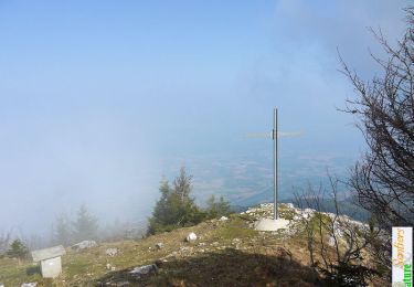
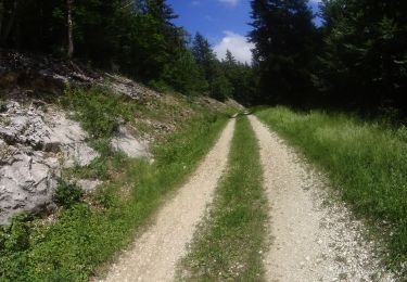
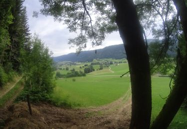
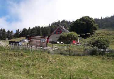
Trail Walking of 19.8 km to be discovered at Auvergne-Rhône-Alpes, Isère, Saint-Gervais. This trail is proposed by ajd26.
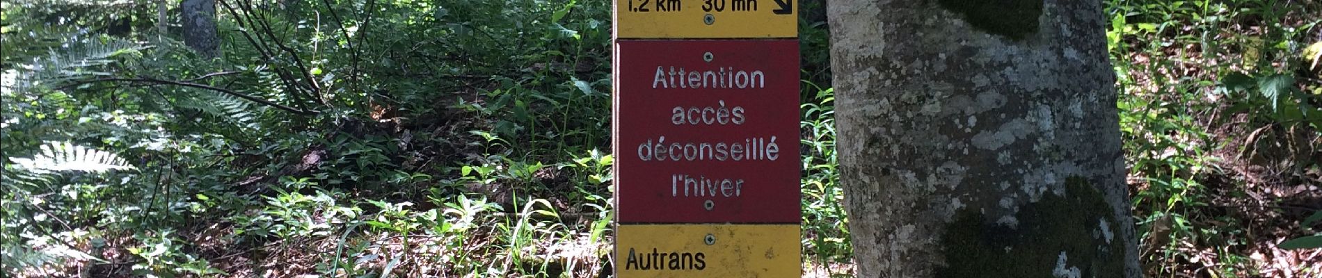
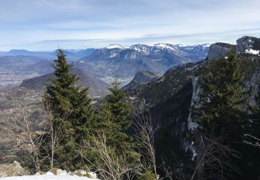
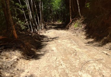
Depuis le pont de Chabert (col de Romeyer), pas de Montbrand et retour par le pas de la Pierre Taillée. Rando très ombragée avec de jolis points de vue


Snowshoes
Walking
Walking
Mountain bike
Mountain bike
Walking
Walking
Walking

Walking